Schotse Hooglanden & Speyside
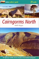 Wandelgids Cairngorms North | Mica Publishing
A detailed and superbly illustrated guidebook to walking the high tops, foothills, forests and glens of the Northern Cairngorms, one of Scotland's most popular mountain ranges, easily accessed from the …
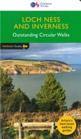 Wandelgids 030 Pathfinder Guides Loch Ness and Inverness | Ordnance Survey
Explore 28 beautiful walks across Loch Ness & Inverness with the OS Pathfinder Guidebooks, graded by length and ranging from 2 to 16 miles. The routes range from extended …
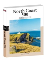 Reisgids PassePartout North Coast 500 | Edicola
Met het lanceren van de North Coast 500 in 2015 werd in één keer Noord-Schotland op de kaart gezet. De ruim 800 km lange route, die start en eindigt in …
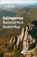 Wegenkaart - landkaart National Park Pocket Map Cairngorms | Collins
Handige kleine kaart van dit Nationaal Park. De kaart geeft een goed en helder overzicht van het gebied met alle plaatsen, doorgaande wandelpaden (alhoewel grof van schaal), bezienswaardigheden etc. Met …
 Wegenkaart - landkaart National Park Pocket Map Loch Lomond and the Trossachs | Collins
Handige kleine kaart van dit Nationaal Park. De kaart geeft een goed en helder overzicht van het gebied met alle plaatsen, doorgaande wandelpaden (alhoewel grof van schaal), bezienswaardigheden etc. Met …
 Wandelkaart John O'Groats trail | Harvey Maps
Mooie, duidelijke kaart van de John O'Groats trail in Schotland. Geplastificeerd met veel extra informatie en uitsnedes van de route. The John o' Groats Trail is a 237 km (147 …
★★★★★★★★★★ Reisgids North Coast Journey - Schotland | Birlinn
Als je echt enthousiast wilt worden over deze fantastische streek, dan is boek een echte aanrader. Veel illustraties maken het een lust voor het oog. Daarnaast veel tips over dit …
 Wandelkaart 57 OS Explorer Map | Active Cairn Gorm, Aviemore ACTIVE | Ordnance Survey
Met zijn 4cm voor 1 km (2 ½ cm voor 1 mijl) schaal, is de OS Outdoor Leisure kaartenserie de ideale en meest gedetailleerde kaartenreeks voor mensen die graag outdoor-activiteiten …
★★★★★ Reisgids Slow Travel North East Scotland | Bradt Travel Guides
Smitten by Scotland since childhood, travel writer Rebecca Gibson moved to Moray and started exploring her new home region on foot to produce this new title in Bradt's award-winning series …
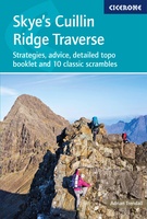 Wandelgids Scrambles in Skye's Cuillin Ridge Traverse | Cicerone
A guidebook to the Isle of Skye’s Cuillin Ridge Traverse. This 2-volume set is a comprehensive guide to planning and completing this challenging and technical 12km scramble. With a route …
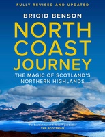 Reisgids North Coast Journey | Birlinn
Brigid writes with warmth and appreciation of communities that she knows and loves, and she inspires us to explore them' - Rick Stein 'Whenever I am talking to customers about …
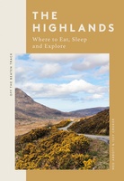 Reisgids The Highlands | Quadrille Publishing Ltd
Off the Beaten Track: The Highlands is a thoughtfully curated guide revealing the hidden joys of the Highlands, including where to eat well, explore and rest along the way. …
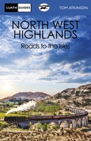 Reisboek The North West Highlands | Luath Press
This book deals with the vast and lovely area lying to the north and west of Fort William, and going up through the Highlands as far as Ullapool. It is …
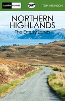 Reisboek Northern Highlands | Luath Press
The Empty Lands are that great area of northern Scotland between Ullapool and Cape Wrath, and between Bonar Bridge and John o' Groats. It is truly the Land of the …
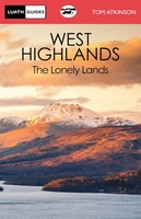 Reisboek The West Highlands | Luath Press
Inveraray, Oban, Kintyre, Glencoe, Loch Awe, Loch Lomond, Appin, Islay - all the glories of Argyll are described in this book. From Dumbarton to Campletown and north to Loch Etive …
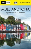 Reisboek Mull and Iona | Luath Press
The fairest of the inner Hebridean islands and Scotland's great centre of celtic Christianity. Both Mull and Iona are now easily accessible even for day visitors from the mainland, …
 Wegenkaart - landkaart Spezialkarte Schottlands North Coast 500 | TVV Touristik Verlag
FolyMaps Spezialkarte Schottlands NORTH COAST 500Robuste Karte mit vielen Infos und allen Highlights entlang dieser Ferienstraße - foliert - strapazierfähig - wetterfestDie neue FolyMaps Spezialkarte Schottlands North Coast 500 vereint …
 Wandelkaart - Topografische kaart 396 OS Explorer Map Stonehaven, Inverbervie & Laurencekirk | Ordnance Survey
Met zijn 4cm voor 1 km (2 ½ cm voor 1 mijl) schaal, is de OS Explorer kaartenserie de ideale en meest gedetailleerde kaartenreeks voor mensen die graag outdoor-activiteiten zoals …
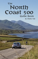 Reisgids Schotland - North coast 500 guide book | Charles Tait
Zeer gedegen reisgids over een uniek gebied van Scholtand, het noorden met Inverness als centraal punt. Zeer compleet met veel informatie, goede kaarten en mooie foto;s. Echt een aanrader als …
★★★★★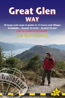 Wandelgids Great Glen Way | Trailblazer Guides
Goede wandelgids waarin met veel details alle etappes zijn beschreven. Tevens informatie over overnachtingen en openbaar vervoer. All-in-one, practical guide to walking the Great Glen Way long-distance footpath. The trail …
★★★★★★★★★★
Laatste reviews

Heb de gids cadeau gedaan en die persoon was er heel blij mee ..
★★★★★ door J 21 november 2024 | Heeft dit artikel gekocht
De kaart van Kirgystan is prachtig, zeer gedetailleerd. Kan niet wachten tot de we echt op reis hmgaan die kant op.
★★★★★ door Marijke Eering 21 november 2024 | Heeft dit artikel gekocht
Super handig fiets boekje en mooi water bestendig. En handig om op de kaarten te kijken heel duidelijk beschrijving. Wij fietsen al jaren in Duitsland …
★★★★★ door Jenneke holterman 19 november 2024 | Heeft dit artikel gekocht
prima kaart levering en betaling allemaal vlot verlopen
★★★★★ door Marc Buts 19 november 2024 | Heeft dit artikel gekocht

