Ierland
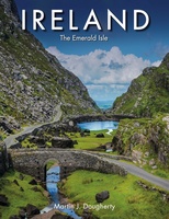 Fotoboek Ireland | Ierland | Amber Books
Ireland holds a special place in people’s hearts – even for many who haven’t been there. To some the appeal is its natural beauty, to others it’s the history; to …
 Reisgids Wat & Hoe Dublin en Ierland | Kosmos Uitgevers
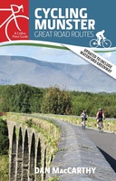 Fietsgids Cycling Munster | The Collins Press
With routes spanning the province, here is everything you need to explore the highways and byways of Munster – on two wheels. This popular guide has now been updated …
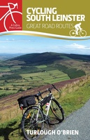 Fietsgids Cycling South Leinste | The Collins Press
South Leinster has a surprising variety of terrain, boasting canals, blanket bogs, rolling woodlands, golden beaches and brilliant green pastures interspersed with fields of golden barley. Quiet roads with excellent …
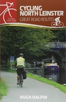 Fietsgids Cycling North Leinster | The Collins Press
With quiet roads, striking scenery and brimming with 5,000 years of heritage, north Leinster is a marvellous region to discover by bike. These thirty routes, exploring coast, lake, river and …
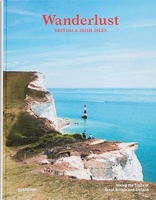 Reisinspiratieboek Wanderlust British and Irish Isles | Gestalten Verlag
From breathtaking nature to timeless culture, explore the hiking trails and the wonders of the British Isles. The British and Irish Isles are a paradise for hikers. They provide a …
 Reisgids Lannoo's Autoboek Ierland on the road | Lannoo
 Reisgids Capitool Reisgidsen Ierland | Unieboek★★★★★
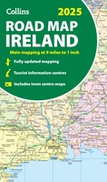 Wegenkaart - landkaart Ireland - Ierland road map 2025 | Collins
Explore Ireland with easy-to-read mapping from Collins. Full-color map of Ireland at 9 miles to 1 inch (1:570,240), with clear, detailed road network and counties and new administrative areas shown …
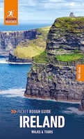 Reisgids Rough Guide Pocket Ireland | Rough Guides
This compact, pocket-sized Ireland travel guidebook is ideal for travellers on shorter trips, who want to make sure they experience the destination's highlights. The book includes highly practical, ready-made walks …
 Wandelkaart Dingle Peninsula | Harvey Maps
The whole of the Dingle Peninsula on one lightweight, waterproof map at the popular 1:30,000 scale. Includes Mount Brandon and the entire Brandon Group of mountains in the west …
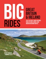 Fietsgids Big Rides: Great Britain & Ireland | Vertebrate Publishing
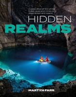 Reisgids Hidden Realms | Vertebrate Publishing
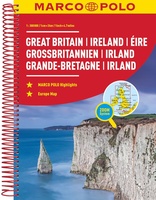 Wegenatlas Groot Brittannie & Ierland | Marco Polo
Goede wegenatlas met gedetailleerde kaarten. Alle wegen staan erop vermeldt plus onverharde wegen. Pittoreske weggetjes die de moeite waard zijn, zijn groen gearceerd. Alle toeristische informatie, ook campings zijn er …
 Stadsplattegrond Discovery Cork city | Ordnance Survey Ireland
 Stadsplattegrond Discovery Kilkenny city | Ordnance Survey Ireland
 Stadsplattegrond Discovery Limerick city | Ordnance Survey Ireland
 Wegenkaart - landkaart Discovery Ierland touring map | Ordnance Survey Ireland
 Stadsplattegrond - Wegenkaart - landkaart Dublin / Ierland (Eire) | ITMB
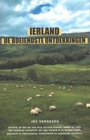 Reisgids Ierland de boeiendste ontdekkingen | Jef Verrezen
Laatste reviews

Kan de huidige ontstuimige ontwikkelingen wereldwijd, nu ook geografisch plaatsen en daarmee beter volgen.
★★★★★ door Leo Janssen 20 december 2024 | Heeft dit artikel gekocht
We hadden Piëmonte al eens bezocht en voor onze komende reis werd ons door kennissen deze gids aanbevolen. Inderdaad is dit een heel goede gids. …
★★★★★ door DWKdB 19 december 2024 | Heeft dit artikel gekocht
Mijn bestellingen zijn altijd goed en worden altijd op tijd geleverd. Komen afspraken goed na. Erg tevreden.
★★★★★ door Ben Wegdam 19 december 2024 | Heeft dit artikel gekocht
Zeer gedetailleerde kaart van het zuidelijke deel van het douaniers pad
★★★★★ door Marian 18 december 2024 | Heeft dit artikel gekocht

