■ York
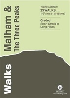 Wandelgids Malham and the Three Peaks | Hallewell Publications
Last rewalked and updated in 2021, Walks Malham & The Three Peaks covers part of The Yorkshire Dales National Park - an area of rolling green hills, dramatic limestone features …
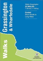 Wandelgids Grassington and Wharfedale | Hallewell Publications
The Yorkshire Dales National Park - an area of rolling green hills, dramatic limestone features and quaint villages - has five main dales (valleys). Walks Grassington & Wharfedale covers Wharfedale …
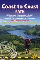 Wandelgids Coast to Coast Path: St Bees to Robin Hood's Bay | Trailblazer Guides
Goede wandelgids van de hele route van kust naar kust. Met veel details zijn alle etappes beschreven. Tevens informatie over overnachtingen en openbaar vervoer. All the information you need to …
★★★★★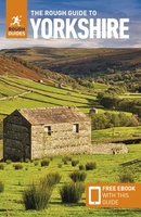 Reisgids Yorkshire | Rough Guides
Zeer goede reisgids voor zowel de georganiseerde maar vooral voor de zelfstandige reiziger. Boordevol informatie over reizen, slapen, eten, maar ook musea en cultuur. Voor Europese landen en steden completer …
 Stadsplattegrond Pocket Street Map Sheffield | A-Z Map Company
This up-to-date detailed A-Z street map includes 3,219 streets in and around Sheffield. As well as the central shopping area, the other areas covered are Park Hill, Burngreave, Netherthorpe, Crookesmoor, …
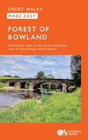 Wandelgids Forest of Bowland | Ordnance Survey
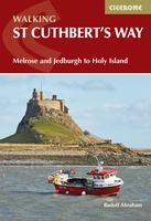 Wandelgids St Cuthbert's Way | Cicerone
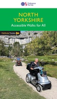 Wandelgids 093 Pathfinder Guides North Yorkshire Accessible walks for all | Ordnance Survey
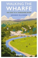 Reisverhaal Walking the Wharfe | Johno Ellison
In a world of globetrotting explorers and record-breaking journeys - of which he has been part himself - Johno Ellison decided to return to his roots and walk the entire …
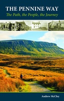 Wandelgids Pennine Way | Cicerone
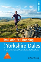 Wandelgids Trail & Fell Running In The Yorkshire Dales | Cicerone
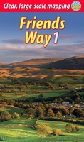 Wandelgids Friends Way 1 - George Fox's journey | Rucksack Readers
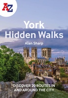 Wandelgids York | Collins
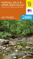 Wandelkaart - Topografische kaart OL19 OS Explorer Map Howgill Fells & Upper Eden Valley | Ordnance Survey
 Fietskaart Yorkshire Dales | Goldeneye
 Mountainbikegids Yorkshire Dales Mountain Biking | Vertebrate Publishing
 Reisgids Pocket Rough Guide York | Rough Guides
This compact, pocket-sized York travel guidebook is ideal for travellers on weekend trips or shorter breaks in the UK. It includes ready-made walking and driving itineraries that allow you to …
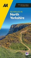 Wandelgids 50 Walks in Yorkshire North | AA Publishing
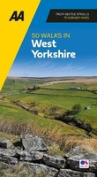 Wandelgids 50 Walks in Yorkshire West | AA Publishing
 Fietskaart mountainbike Coast to Coast WEST | Harvey Maps
Deze kaart toont het westelijke deel van de route tussen St Bees/Ravenglass en Kirkby Stephen/Aysgarth via Ambleside/Windermere. Er zijn meerdere alternatieve routes ingetekend op een duidelijke topografische ondergrond. De …
Laatste reviews

Kan de huidige ontstuimige ontwikkelingen wereldwijd, nu ook geografisch plaatsen en daarmee beter volgen.
★★★★★ door Leo Janssen 20 december 2024 | Heeft dit artikel gekocht
We hadden Piëmonte al eens bezocht en voor onze komende reis werd ons door kennissen deze gids aanbevolen. Inderdaad is dit een heel goede gids. …
★★★★★ door DWKdB 19 december 2024 | Heeft dit artikel gekocht
Mijn bestellingen zijn altijd goed en worden altijd op tijd geleverd. Komen afspraken goed na. Erg tevreden.
★★★★★ door Ben Wegdam 19 december 2024 | Heeft dit artikel gekocht
Zeer gedetailleerde kaart van het zuidelijke deel van het douaniers pad
★★★★★ door Marian 18 december 2024 | Heeft dit artikel gekocht

