Wales
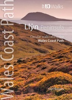 Llyn Peninsula | Northern Eye Books
This handy little guide book gives you the ten very best short circular walks along the Llŷn peninsula section of the Wales Coast Path The Llŷn pushes 30 miles …
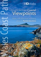 Wandelgids Pembrokeshire - Walks to Coastal Viewpoints | Northern Eye Books
This attractive and good looking book will take you on ten short circular walks to some of the finest and most iconic views and viewpoints along the rugged Pembrokeshire coast, …
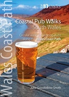 Wandelgids Coastal Pub Walks: South Wales | Northern Eye Books
South Wales’ best coastal pub walks This pocket-sized guide gives walkers ten easy, circular walks to amazing coastal pubs along the South Wales section of the Wales Coast Path. …
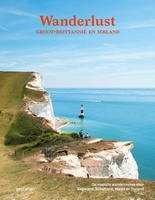 Reisinspiratieboek - Wandelgids Wanderlust - Groot-Brittannië en Ierland | Kosmos Uitgevers
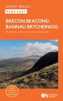 Wandelgids Brecon Beacons | Ordnance Survey
Get outside and enjoy ten short leisurely strolls across the Brecon Beacons National Park, indulging in wonderful mountain views across Southern Britain’s hilliest terrain. With routes for all abilities, enjoy …
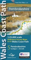 Wandelgids Pembrokeshire | Northern Eye Books
OS Map Books: Wales Coast Path: Pembrokeshire Coast Path Map Atlas | Ordnance Survey ‘Explorer’ Large-scale 1:25,000 maps for the Pembrokeshire Coast in compact book format | Pocket Atlas | …
 Stadsplattegrond Pocket Street Map Cardiff | A-Z Map Company
Navigate your way around Leeds with detailed street maps from A-Z This up-to-date, folded A-Z street map includes all of the 2,100 streets in and around Blackpool. As well as …
 Stadsplattegrond Pocket Street Map Swansea | A-Z Map Company
This up-to-date detailed A-Z street map includes more than 2,000 streets in and around Swansea.The large-scale street map includes the following: - Places of interest- Postcode districts, one-way streets and …
 Wegenkaart - landkaart Visitors map Wales | A-Z Map Company
Explore the whole country from Cardiff and Pembrokeshire to Isle of Anglesey and Conwy, extending as far north as Liverpool. This detailed and up-to-date map contains 700 places of interest …
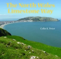 Wandelgids North Wales Limestone Way | Llygad Gwalch
The North Wales Limestone Way is a newly-created 136km (85 mile) seven-stage route along the outcrop of the 340-330 million year old Carboniferous Limestone, from the iconic Great Orme in …
 Wegenkaart - landkaart 503 Wales, The Midlands, Southwest - zuidwest | Michelin
Zoals je van Michelin mag verwachten zijn het onmisbare overzichtskaarten van een uitstekende kwaliteit: een duidelijk en goed leesbaar kaartbeeld. Vrijwel alle berijdbare wegen staan er op ingetekend, in kleur …
★★★★★ Wegenkaart - landkaart 6 Road Map Britain Wales | AA Publishing
Goede dubbelzijdige wegenkaart met plaatsnamenindex van Wales Britain’s clearest mapping from the experts at the AA, in a handy foldable map. Fully updated, this map of Wales combines clear design …
★★★★★ Wandelkaart - Topografische kaart 241 OS Explorer Map Shrewsbury | Ordnance Survey
Met zijn 4cm voor 1 km (2 ½ cm voor 1 mijl) schaal, is de OS Explorer kaartenserie de ideale en meest gedetailleerde kaartenreeks voor mensen die graag outdoor-activiteiten zoals …
 Wandelgids The Welsh Marches | Pocket Mountains
Handige compacte wandelgids met 40 dagwandelingen. Deze gids bevat kleine kaartjes en leuke uitgebreide informatie over wat er langs de route te zien is. Goede wandelkaarten zijn echter we noodzakelijk …
 Wandelkaart - Topografische kaart 152 OS Explorer Map Newport, Pontypool | Ordnance Survey
Met zijn 4cm voor 1 km (2 ½ cm voor 1 mijl) schaal, is de OS Explorer kaartenserie de ideale en meest gedetailleerde kaartenreeks voor mensen die graag outdoor-activiteiten zoals …
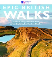 Wandelgids Epic British Walks | Ordnance Survey
This magnificent collection of truly EPIC WALKS brings together Britain’s most beautiful countryside with the long-distance trails that present the very best means of experiencing it. An inspiring introduction …
★★★★★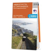 Wandelkaart - Topografische kaart 213 OS Explorer Map Aberystwyth, Cwm Rheidol | Ordnance Survey
Met zijn 4cm voor 1 km (2 ½ cm voor 1 mijl) schaal, is de OS Explorer kaartenserie de ideale en meest gedetailleerde kaartenreeks voor mensen die graag outdoor-activiteiten zoals …
Laatste reviews

Kan de huidige ontstuimige ontwikkelingen wereldwijd, nu ook geografisch plaatsen en daarmee beter volgen.
★★★★★ door Leo Janssen 20 december 2024 | Heeft dit artikel gekocht
We hadden Piëmonte al eens bezocht en voor onze komende reis werd ons door kennissen deze gids aanbevolen. Inderdaad is dit een heel goede gids. …
★★★★★ door DWKdB 19 december 2024 | Heeft dit artikel gekocht
Mijn bestellingen zijn altijd goed en worden altijd op tijd geleverd. Komen afspraken goed na. Erg tevreden.
★★★★★ door Ben Wegdam 19 december 2024 | Heeft dit artikel gekocht
Zeer gedetailleerde kaart van het zuidelijke deel van het douaniers pad
★★★★★ door Marian 18 december 2024 | Heeft dit artikel gekocht

