♦ Lake District Nationaal Park
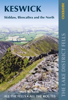 Wandelgids Walking the Lake District Fells - Keswick and the North | Cicerone
Uitstekende wandelgids voor dit uitdagende wandelgebied. This guide describes ascents of 30 Lake District fells that can be climbed from Keswick, the Whinlatter Pass, Bassenthwaite, Hesket Newmarket, Mungrisdale and Threlkeld. …
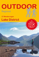 Wandelgids Lake District | Conrad Stein Verlag
Compacte Duitstalige wandelgids in zakformaat 25 dagwandelingen. Deze gids bevat kaartjes met de wandelingen erop ingetekend, hoogteprofielen, grafieken, beschrijving van de route en beknopte beschrijving van bezienswaardigheden en foto's. De …
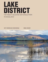 Reisgids PassePartout Lake District | Edicola
Leuke wandelroutes, pittoreske dorpjes, adembenemende vergezichten, ambachtelijke etenswaren en dranken, ruige bergtoppen, sprankelende meren, watervallen en beekjes. Verken het meest populaire nationale park van Engeland, ga ‘off the beaten track’ …
★★★★★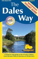 Wandelkaart The Dales Way | Footprint maps
Handzame wandelkaart voor de Dales Way in Noord Engeland. The Dales Way is a 79 mile (127km) long distance trail in the north of England, running between Ilkley, in North …
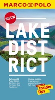 Reisgids Marco Polo NL Lake District | 62Damrak
Marco Polo reisgids voor het Lake District! Handig pocket formaat, boordevol informatie, met plattegronden in de gids én uitneembare kaart. Met ‘insider tips’ om deze waterrijke Britse regio écht te …
★★★★★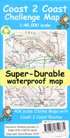 Wandelkaart Coast 2 Coast | Discovery Walking Guides
Goede scheur- en watervaste wandelkaart. The whole Coast 2 Coast on one double sided, 960mm by 694mm, map sheet. All 193 miles (308 kilometres) of the Wainwright route along with …
★★★★★ Wandelkaart Lake District Zuid Oost | Harvey Maps
Superwalker XT25 of the Lake District. Revised and re-designed. It's got everything! Genuine original HARVEY mapping at 1:25,000. Clear, easy to read. Easy to re-fold. Opens directly to either side …
 Wandelkaart Lake District Noord | Harvey Maps
New Superwalker XT25 of the Lake District. Revised and re-designed It's got everything! Genuine original HARVEY mapping at 1:25,000. Clear, easy to read. Easy to re-fold. Opens directly to either …
 Wandelkaart Lake District West | Harvey Maps
New Superwalker XT25 of the Lake District Revised and re-designed. It's got everything! Genuine original HARVEY mapping at 1:25,000. Clear, easy to read. Easy to re-fold. Opens directly to either …
 Wandelkaart Lake District Zuid Oost | Harvey Maps
HARVEY launch innovative new series: Ultramap XT40. 16 titles featuring in Trail magazine through spring 2016. 40 years experience have gone into HARVEY's most creative new series. The Ultramap covers …
 Wandelkaart Lake District Oost | Harvey Maps
HARVEY launch innovative new series: Ultramap XT40. 16 titles featuring in Trail magazine through spring 2016. 40 years experience have gone into HARVEY's most creative new series. The Ultramap covers …
 Wandelkaart Lake District Noord | Harvey Maps
HARVEY launch innovative new series: Ultramap XT40. 16 titles featuring in Trail magazine through spring 2016. 40 years experience have gone into HARVEY's most creative new series. The Ultramap covers …
 Wandelkaart Lake District West | Harvey Maps
HARVEY launch innovative new series: Ultramap XT40. 16 titles featuring in Trail magazine through spring 2016. 40 years experience have gone into HARVEY's most creative new series. The Ultramap covers …
 Wandelgids 15 Short Walks in the Lake District: Windermere Ambleside and Grasmere | Cicerone
Our authors have chosen 15 of the best short walks around Windermere, Ambleside and Grasmere for you to explore. Our guide comes with easy-to-read Ordnance Survey maps and clear route …
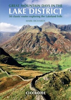 Wandelgids Great Mountain Days in the Lake District | Cicerone
An inspirational guidebook to 50 memorable walks through the high fells of the Lake District. From the favourite summits of Scafell, Bowfell, Great Gable, the Crinkle Crags, to lesser-known fells, …
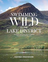 Reisgids Swimming Wild in the Lake District | Vertebrate Publishing
Deze zwemgids van het lake district bevat praktische informatie over de beste plekken om te zwemmen in de vele prachtige meren van het Lake District. Daarnaast geeft de auteur haar …
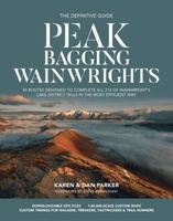 Wandelgids Peak Bagging | Vertebrate Publishing
Over fifty years ago, renowned British hillwalker and guidebook author Alfred Wainwright described 214 peaks in the English Lake District in his seven-volume illustrated Pictorial Guide to the Lakeland Fells. …
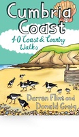 Wandelgids Cumbria Coast | Pocket Mountains
Handige compacte wandelgids met 40 dagwandelingen. Deze gids bevat kleine kaartjes en leuke uitgebreide informatie over wat er langs de route te zien is. Much quieter than the nearby Lake …
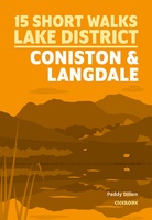 Wandelgids 15 Short Walks Coniston and Langdale | Cicerone
15 of the best short walks in the southwestern Lake District around Coniston and Langdale. Handpicked by Cicerone's expert author, and with no complicated navigation or challenging terrain, these walks …
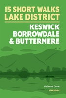 Wandelgids 15 Short Walks Keswick, Borrowdale and Buttermere | Cicerone
15 of the best short walks in the northern Lake District around Keswick, Borrowdale and Buttermere. Handpicked by Cicerone's expert author, and with no complicated navigation or challenging terrain, these …
Laatste reviews

Heb de gids cadeau gedaan en die persoon was er heel blij mee ..
★★★★★ door J 21 november 2024 | Heeft dit artikel gekocht
De kaart van Kirgystan is prachtig, zeer gedetailleerd. Kan niet wachten tot de we echt op reis hmgaan die kant op.
★★★★★ door Marijke Eering 21 november 2024 | Heeft dit artikel gekocht
Super handig fiets boekje en mooi water bestendig. En handig om op de kaarten te kijken heel duidelijk beschrijving. Wij fietsen al jaren in Duitsland …
★★★★★ door Jenneke holterman 19 november 2024 | Heeft dit artikel gekocht
prima kaart levering en betaling allemaal vlot verlopen
★★★★★ door Marc Buts 19 november 2024 | Heeft dit artikel gekocht

