Collins
Maak je reis compleet met de handige reisgidsen en wegenkaarten van Collins
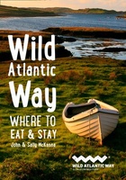 Reisgids Wild Atlantic Way - Where to eat and stay | Collins
Een handzame gids met de beste plekken om te eten en overnachten langs de Wild Atlantic Way in Ierland. A guide to the best places to enjoy the local Irish …
★★★★★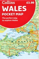 Wegenkaart - landkaart Pocket Map Wales | Collins
Kleine handzame kaart van Wales Handy little full colour map of Wales. Excellent value and very detailed for its size. Key features of this map include: • Clear mapping …
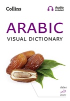 Woordenboek Visual Dictionary Arabic - Arabisch taalgids | Collins
Super handig! Een taalgids waarbij naast de gewone vertaling en een fonetische poging daartoe ook een plaatje staat weergegeven. Ideaal voor een moeizame conversatie in een taal die je echt …
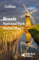 Wegenkaart - landkaart National Park Pocket Map Broads | Collins
Handige kleine kaart van dit Nationaal Park. De kaart geeft een goed en helder overzicht van het gebied met alle plaatsen, doorgaande wandelpaden (alhoewel grof van schaal), bezienswaardigheden etc. Met …
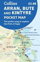 Wegenkaart - landkaart Pocket Map Arran, Bute and Kintyre | Collins
Handy little full colour map of Arran, Bute and Kintyre. Main features of this map include: • Clear mapping • Main tourist attractions located and described • Ideal for …
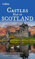 Wegenkaart - landkaart Castles map of Scotland - Schotland kastelen | Collins
Kaart waarop meer dan 700 kastelen in Schotland staan aangegeven. Discover Scotland's ancient monuments and castles. Explore Scotland’s ancient monuments with this pictorial map featuring over 700 castles and fortified …
★★★★★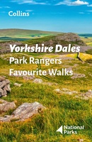 Wandelgids Park Rangers Favourite Walks Yorkshire Dales | Collins
Compacte wandelgids met 20 wandelingen geselecteerd door park rangers en met duidelijke beschrijvingen en routekaartjes. Walking guide to the Yorkshire Dales National Park, with 20 best routes chosen by …
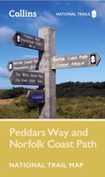 Wandelkaart National Trail Map Peddars Way and Norfolk Coast | Collins
Overzichtskaart op vrij grove schaal van deze LAW Lange Afstands Wandeling in Engeland. Let op: je kunt er niet op lopen. Wel met veel informatie op de kaart, goed ingetekend, …
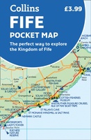 Wegenkaart - landkaart Pocket Map Fife | Collins
Handy little full colour map of the coastal Kingdom of Fife. Detailed mapping and tourist information from Dundee in the North to Edinburgh in the south and from Fife coast …
 Wegenkaart - landkaart Whisky map of Scotland | Collins
Wegenkaart met meer dan 100 distilleerderijen en whisky gerelateerde locaties. Discover where Scotland’s national drink is produced. All of Scotland’s operational whisky distilleries and whisky-related places of interest located …
★★★★★ Wandelkaart National Trail Map Hadrian’s Wall Path | Collins
Overzichtskaart op vrij grove schaal van deze LAW Lange Afstands Wandeling in Engeland. Let op: je kunt er niet op lopen. Wel met veel informatie op de kaart, goed ingetekend, …
 Wandelgids Short Walks in the Peak District | Collins
A brand new range of practical little walk guides endorsed by the Ramblers. All the walks are 5 miles or under in length and can easily be completed in less …
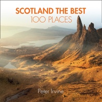 Reisgids Scotland the Best 100 Places - Schotland | Collins
100 beautiful places in Scotland to walk, eat and sleep Peter Irvine, bestselling author of SCOTLAND THE BEST,has selected 100 extraordinary places that epitomise what istruly great about Scotland. This …
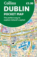 Stadsplattegrond Pocket Map Dublin | Collins
Explore new places with handy pocket maps from Collins. Handy little full colour Collins map of central Dublin with a high level of detail. Map at a scale of 1:7,800 …
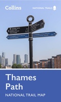 Wandelkaart National Trail Map Thames Path | Collins
Overzichtskaart op vrij grove schaal van deze LAW Lange Afstands Wandeling in Engeland. Let op: je kunt er niet op lopen. Wel met veel informatie op de kaart, goed ingetekend, …
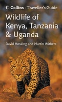 Natuurgids Wildlife of Kenya Kenia, Tanzania and Uganda | Collins
Veldgids waarbij je juist met de goede foto's makkelijk de soorten kunt determineren. Handzaam formaat, gemakkelijk mee te nemen. A guide to the wildlife of Kenya, Tanzania and Uganda. It …
★★★★★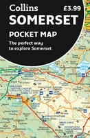 Wegenkaart - landkaart Pocket Map Somerset | Collins
Explore new places with handy pocket maps from Collins. Handy little full-colour map of county of Somerset. Detailed mapping, photographs and tourist information. Famed for its cheddar cheese, cider, …
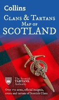 Historische Kaart Scotland Clans and Tartans Map | Collins
Prachtige kaart van Schotland waarin duideljk wordt welke cland er zijn geweest en nog zijn. Met een mooi overzicht van alle Tartans (Stoffen) die er aan gekoppeld zijn. Discover …
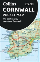 Wegenkaart - landkaart Pocket Map Cornwall | Collins
Handzame wegenkaart voor Cornwall This handy little full color map of Cornwall is an excellent value and very detailed for its size. Key features include clear mapping at a scale …
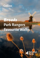 Wandelgids Park Rangers Favourite Walks Broads | Collins
The perfect companions for exploring the National Parks. Walking guide to the Broads National Park, with 20 best routes chosen by the park rangers. Each walk varies in length from …
Laatste reviews

Prima plattegrond Edinburgh in handige map.
★★★★★ door Rinse van der Woude 06 november 2024 | Heeft dit artikel gekocht
In het boek is de route aangegeven. Helaas ontbreken verdere gegevens zoals horeca, bushaltes of stations enz.
★★★★★ door Swieberta 06 november 2024 | Heeft dit artikel gekocht
Mooie kaart, stevig, maar vooral ook digitale ondersteuning heel bruikbaar. Het werkte perfect.
★★★★★ door Coosje 06 november 2024 | Heeft dit artikel gekocht
Alleen jammer dat de wandelknoopunten er nog niet op staan. Hopelijk komt er nog zo'n kaart. De fietsknooppunten staan er wel op.
★★★★★ door Carien den Ridder 04 november 2024 | Heeft dit artikel gekocht

