Collins
Maak je reis compleet met de handige reisgidsen en wegenkaarten van Collins
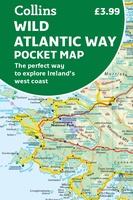 Wegenkaart - landkaart Pocket Map Wild Atlantic Way | Collins
Handy full-colour map of Ireland’s Wild Atlantic Way with a high level of detail. Clear mapping of the full 2500 km (over 1500 miles) route, showing the road network and …
★★★★★★★★★★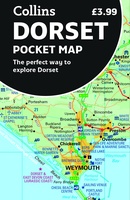 Wegenkaart - landkaart Pocket Map Dorset pocket map (r) | Collins
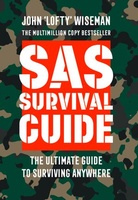 Survivalgids SAS Survival Guide | Collins
De echte SAS gids in mini formaat: handig om mee te nemen en hartstikke leuk om kado te geven. The ultimate guide to survival, this edition now includes the most …
★★★★★★★★★★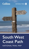 Wandelkaart National Trail Map South West Coast Path | Collins
Overzichtskaart op vrij grove schaal van deze LAW Lange Afstands Wandeling in Engeland. Let op: je kunt er niet op lopen. Wel met veel informatie op de kaart, goed ingetekend, …
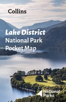 Wegenkaart - landkaart National Park Pocket Map Lake District | Collins
Handige kleine kaart van dit Nationaal Park. De kaart geeft een goed en helder overzicht van het gebied met alle plaatsen, doorgaande wandelpaden (alhoewel grof van schaal), bezienswaardigheden etc. Met …
 Woordenboek Visual Dictionary Mandarin Chinese - Mandarijn Chinees taalgids | Collins
Super handig! Een taalgids waarbij naast de gewone vertaling en een fonetische poging daartoe ook een plaatje staat weergegeven. Ideaal voor een moeizame conversatie in een taal die je echt …
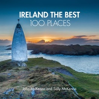 Reisgids Ireland The Best 100 Places | Collins
Sally and John McKenna, travel and food writers and authors of IRELAND THE BEST, have selected 100 extraordinary places that epitomise what is truly great about Ireland. This personal and …
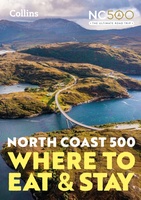 Reisgids - Accommodatiegids North Coast 500 | Collins
A guide to the best places to enjoy the local Scottish cuisine and where to rest for the night along the famous North Coast 500. Elemental, enchanting and inspiring, the …
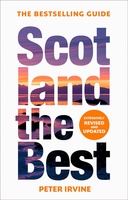 Reisgids Scotland the Best | Collins
The true Scot's insider's guide to the very best Scotland has to offer. Fully revised and updated in Peter Irvine’s own unique style, the 14th edition includes more than 2,000 …
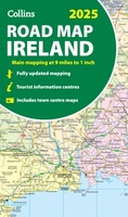 Wegenkaart - landkaart Ireland - Ierland road map 2025 | Collins
Explore Ireland with easy-to-read mapping from Collins. Full-color map of Ireland at 9 miles to 1 inch (1:570,240), with clear, detailed road network and counties and new administrative areas shown …
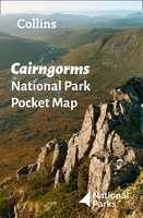 Wegenkaart - landkaart National Park Pocket Map Cairngorms | Collins
Handige kleine kaart van dit Nationaal Park. De kaart geeft een goed en helder overzicht van het gebied met alle plaatsen, doorgaande wandelpaden (alhoewel grof van schaal), bezienswaardigheden etc. Met …
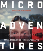 Reisgids Microadventures | Collins
Deze praktische gids staat vol met ideeën voor microadventures - om zelf of met vrienden en familie te beleven - en meer dan 150 verbluffende foto's, plus tips en advies …
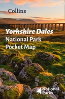 Wegenkaart - landkaart National Park Pocket Map Yorkshire Dales | Collins
Handige kleine kaart van dit Nationaal Park. De kaart geeft een goed en helder overzicht van het gebied met alle plaatsen, doorgaande wandelpaden (alhoewel grof van schaal), bezienswaardigheden etc. Met …
★★★★★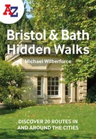 Wandelgids Bristol & Bath Hidden Walks | Collins
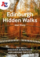 Wandelgids Edinburgh Hidden Walks | Collins
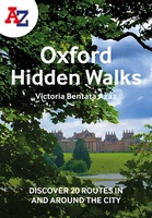 Wandelgids Oxford | Collins
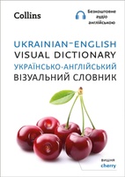 Woordenboek Visual Dictionary Ukrainian - English, Ukrains taalgids | Collins
A photographic guide to 3000 key words and phrases in Ukrainian with English translations. Фотографічний довідник близько 3000 опорних слів і фраз. This attractive pocket-sized book is a perfect English …
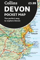 Wegenkaart - landkaart Pocket Map Devon | Collins
Handy little full colour map of Devon. Main features of this map include: • Clear mapping • Main tourist attractions located and described • Ideal for touring with sights, …
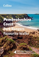 Wandelgids Park Rangers Favourite Walks Pembrokeshire Coast | Collins
The perfect companions for exploring the National Parks. Walking guide to the Pembrokeshire Coast National Park, with 20 best routes chosen by the park rangers. Each walk varies in length …
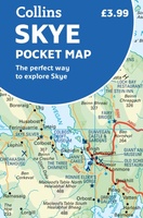 Wegenkaart - landkaart Pocket Map Skye | Collins
Handy little full colour Collins map of Skye with a high level of detail. Clear mapping of the Isle of Skye showing the road network, ferries and places of interest. …
★★★★★
Laatste reviews

Prima plattegrond Edinburgh in handige map.
★★★★★ door Rinse van der Woude 06 november 2024 | Heeft dit artikel gekocht
In het boek is de route aangegeven. Helaas ontbreken verdere gegevens zoals horeca, bushaltes of stations enz.
★★★★★ door Swieberta 06 november 2024 | Heeft dit artikel gekocht
Mooie kaart, stevig, maar vooral ook digitale ondersteuning heel bruikbaar. Het werkte perfect.
★★★★★ door Coosje 06 november 2024 | Heeft dit artikel gekocht
Alleen jammer dat de wandelknoopunten er nog niet op staan. Hopelijk komt er nog zo'n kaart. De fietsknooppunten staan er wel op.
★★★★★ door Carien den Ridder 04 november 2024 | Heeft dit artikel gekocht

