Cicerone
Fijne wandelgidsen en fietsgidsen van Cicerone voor wandelaars, hikers & fietsers
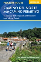 Wandelgids - Pelgrimsroute The Camino del Norte and Camino Primitivo | Cicerone
This guidebook describes the Camino del Norte and Camino Primitivo pilgrim routes to Santiago do Compostela in northwest Spain. The 820km Camino del Norte follows the coast from Irún, on …
★★★★★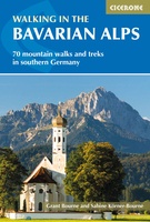 Wandelgids Beieren - Walking in the Bavarian Alps | Cicerone
Wandelgids met dagtochten: goed beschreven met veel praktische informatie om de route te kunnen lopen, inclusief redelijke kaarten. Enorm veel keus in een groot gebied! This guidebook of walks explores …
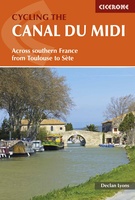 Fietsgids Cycling the Canal Du Midi | Cicerone
This guidebook describes a 240km cycle ride along the length of the Canal du Midi in southern France. Starting at Toulouse in the Haute Garonne and finishing at Sète on …
★★★★★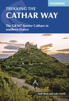 Wandelgids The Cathar Way | Cicerone
Guidebook to the GR367 Cathar Way (Sentier Cathare) in the Languedoc region of southern France. The 260km waymarked trail from Port la Nouvelle on the Mediterranean to Foix traces the …
★★★★★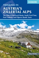 Wandelgids Trekking in Austria's Zillertal Alps | Cicerone
Guide detailing four short Alpine hut-to-hut treks in the stunning Zillertal region of the Austrian Tirol. Included are the 9-day Zillertal Rucksack Route (also known as the Berliner Hohenweg), the …
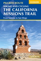 Wandelgids - Fietsgids Hiking and Cycling the California Missions Trail - Californie | Cicerone
Guidebook to hiking or cycling the 800 mile (1289km) California Missions Trail between San Francisco Bay and San Diego. The pilgrimage trail takes in 21 historic Spanish missions and can …
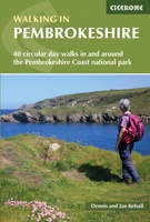 Wandelgids Walking in Pembrokeshire | Cicerone
Uitstekende wandelgids van dit mooie gebied aan de kust van Wales: het Pembrokeshire Coast national park. Goed beschreven met veel praktische informatie om de route te kunnen lopen, inclusief redelijke …
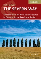 Wandelgids The Severn Way | Cicerone
Uitstekende wandelgids van de Severn Way, waarbij naast alle noodzakelijke informatie ook gebruik gemaakt wordt van de echte topografische kaart. Guidebook to walking the Severn Way, a 210 mile …
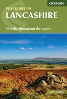 Wandelgids Lancashire | Cicerone
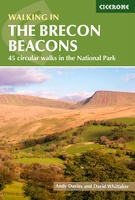 Wandelgids Walking on the Brecon Beacons | Cicerone
Uitstekende wandelgids van dit geweldige gebied. goed beschreven met veel praktische informatie om de route te kunnen lopen, inclusief redelijke kaarten. Guidebook to 45 graded circular walks in the Brecon …
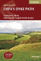 Wandelgids The Offa's Dyke Path - Wales | Cicerone
Engelstalige beschrijving van de mooiste wandeltocht in Wales. De gids voldoet aan alle verwachtingen die je kunt hebben, het enige dat je mist is een overzichtskaart. Inclusief gidsje met routekaarten …
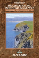 Wandelgids Wales: The Ceredigion and Snowdonia Coast Paths | Cicerone
As part of the Wales Coast Path, the Ceredigion Coast Path and Snowdonia Coast Path trace a curve of 233km (145 miles) of coastal and inland walking down Cardigan Bay. …
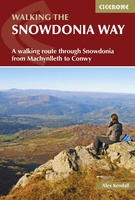 Wandelgids Snowdonia Way | Cicerone
Een beschrijving van de Snowdonia Way, goede beschrijving met gedetailleerd kaartmateriaal..Ook praktische informatie en hoogteprofielen per etappe. This guidebook describes the Snowdonia Way in Wales, a long-distance route through …
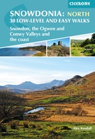 Wandelgids Snowdonia: North - Low-level and easy walks | Cicerone
This guidebook describes 30 low level and easy walks that are suitable for all abilities. The hikes covered are in the northern part of Snowdonia National Park, close to Conwy, …
 Wandelgids 15 Short Walks in Pembrokeshire: Tenby and the South | Cicerone
Dennis and Jan Kelsall have chosen 15 of the best short walks around Tenby and south Pembrokeshire for you to explore. Our guide comes with easy-to-read Ordnance Survey maps and …
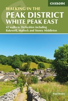 Wandelgids Walking in the Peak District - White Peak East | Cicerone
Uitstekende wandelgids van het Peak District van de gerenommeerde uitgever Cicerone. This guidebook provides 35 day walks and 7 longer walks and trails exploring the eastern section of Derbyshire's …
★★★★★ Wandelgids 15 Short Walks Malvern Hills | Cicerone
Julia Goodfellow-Smith has chosen 15 of the best short walks in the Malvern Hills for you to explore. Our guide comes with easy-to-read Ordnance Survey maps and clear route descriptions, …
 Wandelatlas Hadrian's Wall Path Map Booklet | Cicerone
All the mapping you need to walk the 84 mile (135km) Hadrian's Wall Path from Bowness-on-Solway in Cumbria to Wallsend, Newcastle. This booklet of Ordnance Survey 1:25,000 Explorer maps has …
 Wandelgids Walking in the Forest of Bowland and Pendle | Cicerone
This handy guidebook contains 40 diverse circular day walks suitable for walkers with navigational skills. There is a variety of terrain covered in the Forest of Bowland and Pendle which …
 Wandelgids Walking in Carmarthenshire | Cicerone
This guidebook presents 30 contrasting day walks exploring the mountains, valleys and coastline of Carmarthernshire in south-west Wales. Ranging from 2 to 10 miles in length and suitable for walkers …
Laatste reviews

Super handig fiets boekje en mooi water bestendig. En handig om op de kaarten te kijken heel duidelijk beschrijving. Wij fietsen al jaren in Duitsland …
★★★★★ door Jenneke holterman 19 november 2024 | Heeft dit artikel gekocht
prima kaart levering en betaling allemaal vlot verlopen
★★★★★ door Marc Buts 19 november 2024 | Heeft dit artikel gekocht
Ik heb een uitklapbare kaart van Londen gekocht voor toeristische doeleinden. Snel geleverd en een product die volledig voldoet aan de behoeften. Chapeau!
★★★★★ door Cees Lindenberg 18 november 2024 | Heeft dit artikel gekocht
Mooi stevig, klein koffertje. Ik had eerst de 'middenmaat' besteld maar die was helaas niet meer leverbaar. Snelle en goede communicatie hierover. Het kleinste formaat …
★★★★★ door Marieke 17 november 2024 | Heeft dit artikel gekocht

