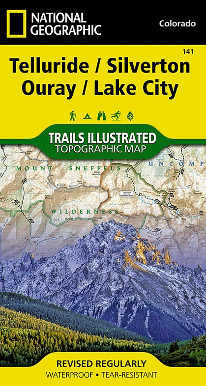
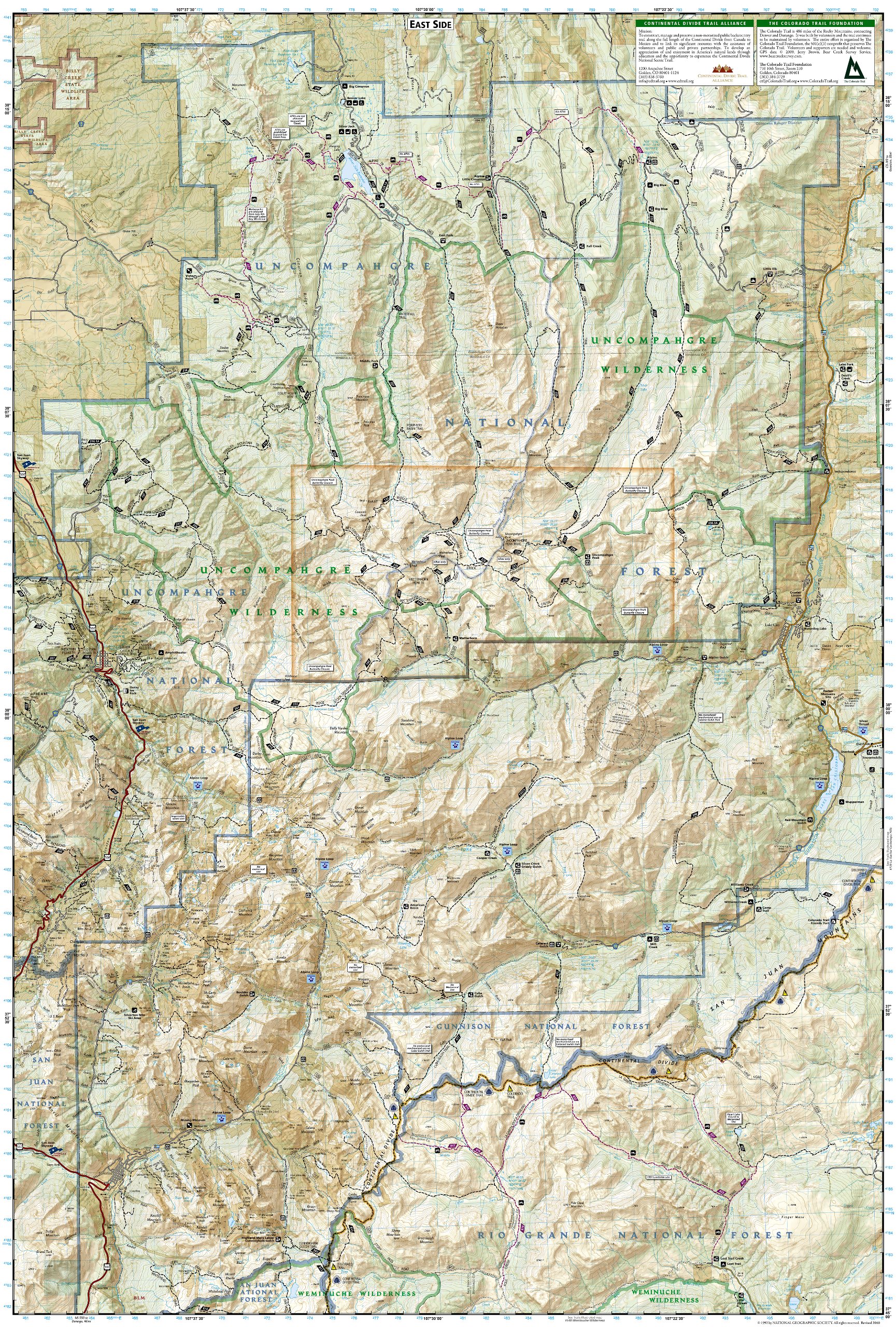
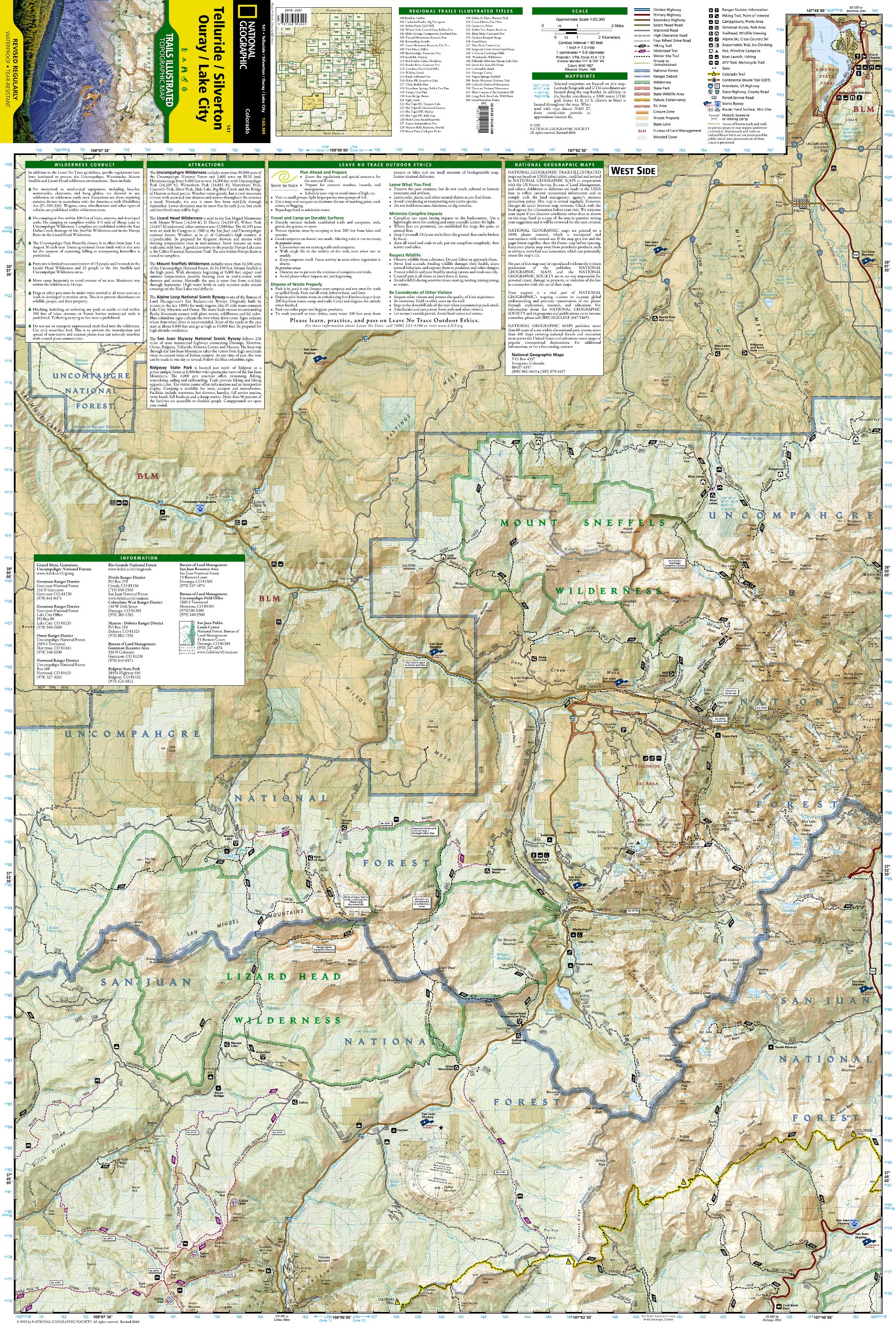
Wandelkaart - Topografische kaart 141 Telluride, Silverton, Ouray, Lake City | National Geographic (9781566953405)
Colorado
- ISBN / CODE: 9781566953405
- Editie: 01-12-2023
- Aantal blz.: 1
- Schaal: 1:63360
- Uitgever: National Geographic
- Soort: Topografische kaart, Wandelkaart
- Taal: Engels
- Hoogte: 19.0 cm
- Breedte: 10.0 cm
- Gewicht: 92.0 g
- Uitvoering: Scheur- en watervast
- Schrijf als eerste een review
-
€ 17,95
Leverbaar in 3 - 5 werkdagen in huis in Nederland Levertijd Belgie
Gratis verzending in Nederland vanaf €35,-
-
Overzicht Wandelkaarten Colorado Trails Illustrated National Geographic

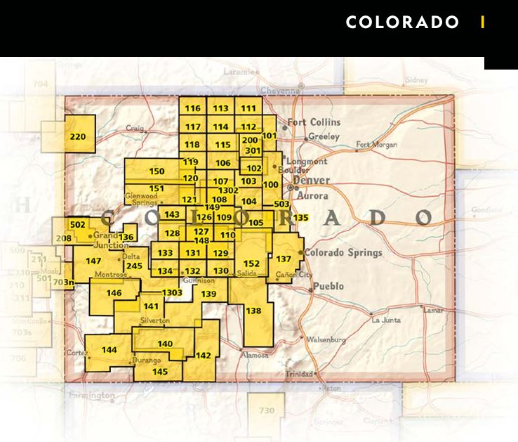
Producten op deze overzichtskaart:
Klik op een product om naar de pagina van dat product te gaan.
- Wandelkaart 103 Winter Park, Central City, Rollins Pass | National Geographic
- Wandelkaart - Topografische kaart 110 Leadville Fairplay | National Geographic
- Wandelkaart - Topografische kaart 123 Trails Illustrated Flat Tops SE, Glenwood Canyon | National Geographic
- Wandelkaart - Topografische kaart 127 Trails Illustrated Aspen, Independence Pass | National Geographic
- Wandelkaart - Topografische kaart 139 Trails Illustrated La Garita, Cochetopa Hills | National Geographic
- Wandelkaart - Topografische kaart 141 Telluride, Silverton, Ouray, Lake City | National Geographic
- Wandelkaart - Topografische kaart 144 Durango, Cortez | National Geographic
- Wandelkaart - Topografische kaart 146 Uncompahgre Plateau South | National Geographic
- Wandelkaart - Topografische kaart 147 Uncompahgre Plateau North | National Geographic
- Wandelkaart 200 Rocky Mountain National Park | National Geographic
- Wandelkaart - Topografische kaart 208 Colorado National Monument | National Geographic
- Wandelkaart - Topografische kaart 245 Black Canyon of the Gunnison National Park | National Geographic
Overzichtskaarten
Beschrijving
Reviews
Geen reviews gevonden voor dit product.
Schrijf een review
Graag horen wij wat u van dit artikel vindt. Vindt u het goed, leuk, mooi, slecht, lelijk, onbruikbaar of erg handig: schrijf gerust alles op! Het is niet alleen leuk om te doen maar u informeert andere klanten er ook nog mee!
Ook interessant voor noord-amerika/verenigde-staten-van-amerika/nationale-parken
-

Reisgids Colorado | Insight Guides
€ 22,95Reisgidsen Colorado -

Wandelgids Colorado Hiking | Moon
€ 24,95Wandelgidsen Colorado -

Wegenkaart - landkaart 3120 Rocky Mo
€ 17,50Wegenkaarten Rocky Mountains -

Wandelkaart 138 Trails Illustrated G
€ 16,95Wandelkaarten Nationale Parken Verenigde Staten van Amerika -

Vogelgids - Natuurgids Rocky Mountai
€ 9,95Natuurgidsen Rocky Mountains