Wandelkaart 4003 Camino de Santiago 2 | Camino Frances | National Geographic (9781566959209)
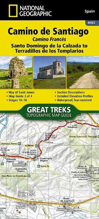
Santo Domingo de la Calzada to Terradillos de los Templarios
- ISBN / CODE: 9781566959209
- Editie: 01-04-2024
- Aantal blz.: 48
- Schaal: 1:50000
- Uitgever: National Geographic
- Soort: Wandelkaart
- Serie: Great Treks Topographic Map Guides
- Taal: Engels
- Hoogte: 24.0 cm
- Breedte: 11.0 cm
- Gewicht: 93.0 g
- Bindwijze: Paperback
- Uitvoering: Scheur- en watervast
- Schrijf als eerste een review
-
€ 17,95
Dit artikel is (tijdelijk) niet leverbaar
Beschrijving
Van de uitgever
The Way of Saint James, known in Spanish as Camino de Santiago — or simply El Camino (The Way) — has been one of Europe's most iconic walking routes since 9th century pilgrims began making their way to the Cathedral of Santiago de Compostela to venerate the remains of Saint James. Though rooted in Christian tradition, the route has been reborn as a nondenominational spiritual rite and epic long distance trail that runs along Roman roads, across mountains, and through picturesque countryside and historic towns.
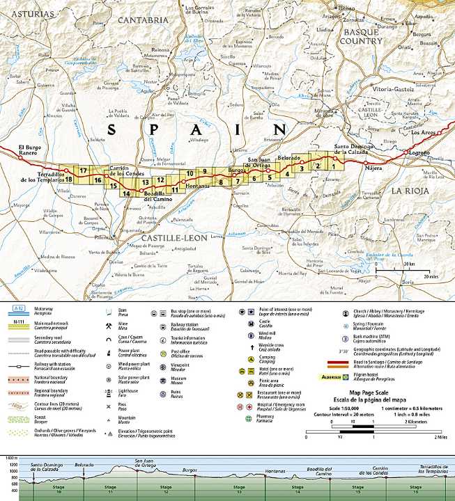
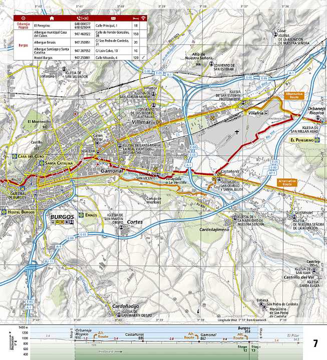
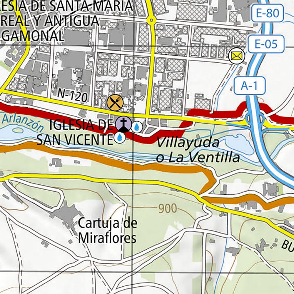
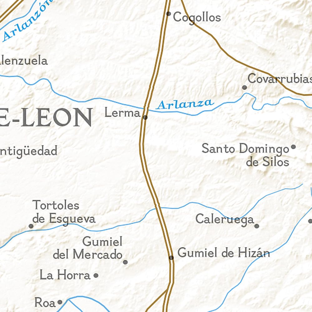
The Santo Domingo de la Calzada to Terradillos de los Templarios Topographic Map Guide booklet makes a perfect traveling companion when traversing the central-east section of the Camino Francés (French Route). This section of the trail passes trough the historic city of Burgos and includes sections 10–16. A detailed description of each trail section is included that tells travelers about the many landmarks encountered along the way.
Each Camino de Santiago Topographic Map Guide includes detailed topographic maps of 2 cm = 1 km. Each page is centered on the trail and overlaps with the adjacent pages so there is little chance of getting lost. Along the bottom of each page is a trail profile that shows the distance between towns, rest houses, and trail access points. The map and trail profile provide a step by step visual guide to hiking the trail.
Every Great Treks map is printed on "Backcountry Tough" waterproof, tear-resistant paper. A full Lat/Long grid is printed on the map to aid with GPS navigation. Every map purchase helps support the National Geographic Society, an impact driven, nonprofit organization with global reach that uses the power of science, exploration, education, and storytelling to illuminate and protect the wonder of our world.
Reviews
Geen reviews gevonden voor dit product.
Schrijf een review
Graag horen wij wat u van dit artikel vindt. Vindt u het goed, leuk, mooi, slecht, lelijk, onbruikbaar of erg handig: schrijf gerust alles op! Het is niet alleen leuk om te doen maar u informeert andere klanten er ook nog mee!
Ook interessant voor europa/spanje/castilie-en-leon
-

Fotoboek De lokroep van de camino |
€ 29,95Fotoboeken 🥾 Wandelroute Santiago de Compostela -

Wandelkaart 4003 Camino de Santiago
€ 17,95Wandelkaarten Castilië en León -

Reisverhaal De Camino de Levante en
€ 20,00Reisverhalen 🥾 Wandelroute Santiago de Compostela -

Reisgids De Pelgrimsdroom | Uitgever
€ 22,90Reisgidsen 🥾 Wandelroute Santiago de Compostela -

Wandelgids Caminho Português | Uitge
€ 19,99Wandelgidsen 🥾 Wandelroute Santiago de Compostela