Mandje Tel: +31503126950 Menu
Winkelwagen
Geen items in winkelwagen
Ga naar winkelwagen

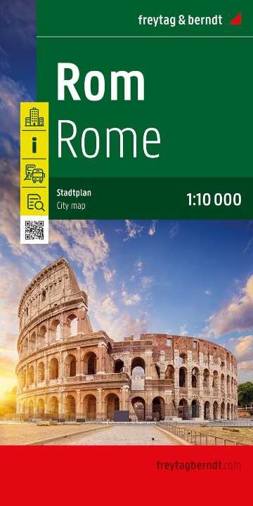
Stadsplattegrond Rome | Freytag & Berndt (9783707922783)

  • ISBN / CODE: 9783707922783
  • Editie: 2024
  • Schaal: 1:10000
  • Uitgever: Freytag & Berndt
  • Soort: Stadsplattegrond
  • Taal: Engels, Duits
  • Hoogte: 26.0 cm
  • Breedte: 13.0 cm
  • Dikte: 0.5 cm
  • Gewicht: 126.0 g
  • Uitvoering: Papier
  • Bindwijze: -
  • Schrijf als eerste een review
  • 14,95

    Op voorraad. Binnen 2 - 3 werkdagen in huis in Belgie Levertijd Nederland Voor 17.00 uur op werkdagen besteld, morgen in huis in Nederland Levertijd Belgie

    Gratis verzending in Nederland vanaf €35,-

Beschrijving

Stadsplattegrondkaart met register. De benaming is goed leesbaar door het helder kaartbeeld. Met de toeristische bezienswaardigheden in symbolen weergeven: monumenten, musea, stadions e.a. Daarnaast handige zaken als postkantoren, parkeergarages en stations. Veelal ook met een openbaar vervoer of metro kaart als inzet. 
 
Symbolen geven de plaats aan van  toeristische bezienswaardigheden, monumenten, historisch belangrijke plekken, uitzichtpunten, postkantoren, parkeergarages en stations. In de inzet vind je meer informatie over het openbaar vervoer of metro.
Explore Rome with this Freytag & Berndt street map. The best way to plan your trip, prepare your itinerary, and to travel independently in the Italian capital.
 
Der Stadtplan Rom 1:10.000 bietet zahlreiche Zusatzinformationen wie öffentliche Verkehrsmittel und touristische Informationen. Im umfangreichen Index finden Sie außerdem jede Adresse. Alle Inhalte werden natürlich regelmäßig aktualisiert. Details: Touristische Informationen, Straßenverzeichnis, Öffentliche Verkehrsmittel. freytag & berndt Stadtpläne sind für viele internationale Hauptstädte sowie zahlreiche Städte und Orte im In- und Ausland erhältlich. Mit den handlichen Faltplänen und praktischen Buchplänen findet man sich dank der genauen Maßstäbe und des übersichtlichen Kartenbilds überall gut zurecht.
 
City map with register. Easy to read due to the clear map image and with tourist sights displayed in symbols: monuments, museums, stadiums, etc. Also useful things like post offices, parking garages and stations. Often also with a public transport or metro card.
 
Symbols indicate the location of tourist sites, monuments, places of historical interest, viewpoints, post offices, parking garages and stations. You will also find more information about public transport or the metro in the cover.City map with register. Easy to read due to the clear map image and with tourist sights displayed in symbols: monuments, museums, stadiums, etc. Also useful things like post offices, parking garages and stations. Often also with a public transport or metro card.


Reviews

Geen reviews gevonden voor dit product.

Schrijf een review

Graag horen wij wat u van dit artikel vindt. Vindt u het goed, leuk, mooi, slecht, lelijk, onbruikbaar of erg handig: schrijf gerust alles op! Het is niet alleen leuk om te doen maar u informeert andere klanten er ook nog mee!