Wandkaarten van landen - Ierland
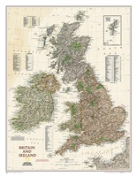 Wandkaart 20442 Groot Brittannië en Ierland antiek, 60 x 76 cm | National Geographic
This map of Britain and Ireland shows country boundaries, thousands of place names, major roadways, airports, bodies of water, and more. Rich earth-toned colors, astounding detail and boardroom quality make …
★★★★★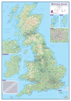 Wandkaart Engeland - British Isles roadplanning wall map, 84 X 119 cm | Maps International
Routeplanner map from Maps International's selection of British Isles maps. Routeplanning map details: British Isles routeplanning map shows the motorways, major roads and transport hubs such as airports and …
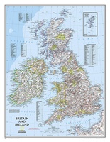 Wandkaart 02022 Britain and Ireland - Groot Brittannië en Ierland, 60 x 76 cm | National Geographic
This classic-style map of England and Wales shows political boundaries, major highways and roads, cities and towns, airports, and other geographic details. Thousands of place-names and exact borders are carefully …
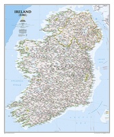 Wandkaart 20427 Ireland – Ierland, 76 x 91 cm | National Geographic
National Geographic Maps' new Ireland wall map is one of the most authoritative maps yet published of the Emerald Isle. Of the nearly 1,000 place-names shown on this map, all …
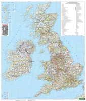 Wandkaart Groot-Brittannië - Ierland | 99 x 116 cm | Freytag & Berndt
Laatste reviews

Gebruikt in dec. 2024. Kaart is actueel en goed te gebruiken om te wandelen of te mountainbiken. Kaart met wat vreemde hoogte indicatie waardoor je …
★★★★★ door S 05 januari 2025 | Heeft dit artikel gekocht
De landkaart voldoet geheel aan mijn wensen. Ik zocht en zo klein mogelijke schaal, om onze routes te plannen. Helaas is de eerste bestelling verdwenen …
★★★★★ door Albert Huizing 04 januari 2025 | Heeft dit artikel gekocht
Prachtige foto’s die herkenbaar zijn na een bezoek aan Suriname. Interessante achtergrond informatie. Jammer dat het boek niet meer gedrukt wordt. Snel verstuurd!
★★★★★ door Neeltje 03 januari 2025 | Heeft dit artikel gekocht
Ik kocht dit boek voor pakjesavond voor mijn zwager en schoonzus, die het heerlijk vinden om regelmatig samen te wandelen, ergens in Nederland. Ook houden …
★★★★★ door Cindy de Lange-Wirds 03 januari 2025 | Heeft dit artikel gekocht

