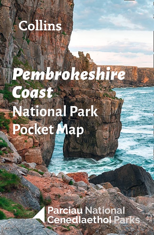
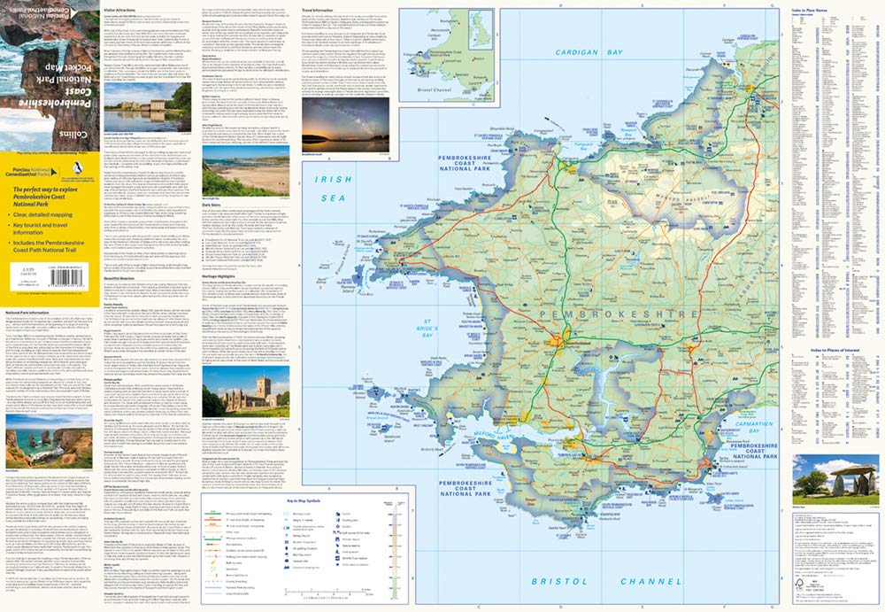
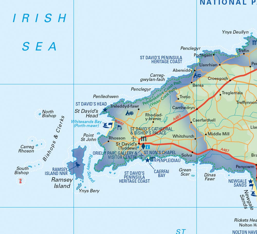
Wegenkaart - landkaart National Park Pocket Map Pembrokeshire Coast | Collins (9780008439163)
- ISBN / CODE: 9780008439163
- Editie: 2022
- Schaal: 1:133000
- Uitgever: Collins
- Soort: Wegenkaart
- Serie: National Park Pocket Map
- Taal: Engels
- Bindwijze: -
- Uitvoering: Papier
- Beoordeling: 5,0 ★★★★★ (1 review) Schrijf een review
-
€ 7,95
Op voorraad. Voor 17.00 uur op werkdagen besteld, morgen in huis in Nederland Levertijd Belgie
Gratis verzending in Nederland vanaf €35,-
Beschrijving
Duidelijke pocket wandelkaart met belangrijke toeristische informatie, bezienswaardigheden, campeerplekken e.d.
- Clear, detailed mapping
- Key park, tourist and travel information
- Ideal for planning visits to the National Park
- Index to help locate and plan your trip
Reviews
Erg handig om dit goedkope kaartje erbij te hebben, als overzicht van het nationale park Pembrokeshire. Je hebt namelijk wel twee OS wandelkaarten nodig om dit gebied te bestrijken, en dan vult dit kaartje de "gaten" mooi op
★★★★★ door lies de kruijf 5 juli 2024 | Heeft dit artikel gekochtVond u dit een nuttige review? (login om te beoordelen)
Schrijf een review
Graag horen wij wat u van dit artikel vindt. Vindt u het goed, leuk, mooi, slecht, lelijk, onbruikbaar of erg handig: schrijf gerust alles op! Het is niet alleen leuk om te doen maar u informeert andere klanten er ook nog mee!
Ook interessant voor europa/engeland/wales
-

Wandelgids Pembrokeshire Coast Path
€ 20,95Wandelgidsen Wales -

Reisgids ANWB Ontdek Wales | ANWB Me
€ 23,50Reisgidsen Wales -

Wandelatlas Adventure Atlas Pembroke
€ 12,95Wandelatlassen ♦ Pembrokeshire Coast National Park -

Wandelgids Pub Walks Pembrokeshire |
€ 9,50Wandelgidsen ♦ Pembrokeshire Coast National Park -

Wegenkaart - landkaart National Park
€ 7,95Wegenkaarten Wales