♦ Peak District Nationaal Park
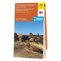 Wandelkaart - Topografische kaart OL01 OS Explorer Map The Peak District - Dark Peak Area | Ordnance Survey
Met zijn 4cm voor 1 km (2 ½ cm voor 1 mijl) schaal, is de OS Outdoor Leisure kaartenserie de ideale en meest gedetailleerde kaartenreeks voor mensen die graag outdoor-activiteiten …
★★★★★★★★★★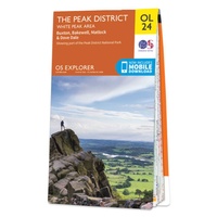 Wandelkaart - Topografische kaart OL24 OS Explorer Map The Peak District - White Peak Area | Ordnance Survey
Met zijn 4cm voor 1 km (2 ½ cm voor 1 mijl) schaal, is de OS Outdoor Leisure kaartenserie de ideale en meest gedetailleerde kaartenreeks voor mensen die graag outdoor-activiteiten …
★★★★★★★★★★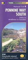 Wandelkaart Pennine Way South | Harvey Maps
Mooie, duidelijke kaart van het zuidelijke gedeelte van de Pennine Way (Edale to Middleton-in-Teesdale). The whole of the Pennine Way on just 2 maps! Pennine Way South map covers …
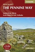 Wandelgids The Pennine Way | Cicerone
Uitstekende wandelgids van de Pennine Way, waarbij naast alle noodzakelijke informatie ook gebruik gemaakt wordt van de echte topografische kaart. inclusief gidsje met routekaarten van 1:25000 Guidebook to the Pennine …
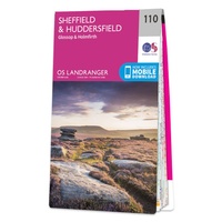 Wandelkaart - Topografische kaart 110 Landranger Sheffield & Huddersfield, Glossop & Holmfirth | Ordnance Survey
Zeer goede detailkaart met topografische ondergrond. Kleurgebruik is goed over nagedacht: bijzonder goed leesbaar en helder kaartbeeld. Hierop zijn toeristische symbolen van bezienswaardigheden ingetekend, daarnaast staan bijvoorbeeld campings en jeugdherbergen …
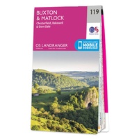 Wandelkaart - Topografische kaart 119 Landranger Buxton & Matlock, Bakewell & Dove Dale | Ordnance Survey
Zeer goede detailkaart met topografische ondergrond. Kleurgebruik is goed over nagedacht: bijzonder goed leesbaar en helder kaartbeeld. Hierop zijn toeristische symbolen van bezienswaardigheden ingetekend, daarnaast staan bijvoorbeeld campings en jeugdherbergen …
★★★★★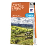 Wandelkaart - Topografische kaart 268 OS Explorer Map Wilmslow, Macclesfield & Congleton | Ordnance Survey
Met zijn 4cm voor 1 km (2 ½ cm voor 1 mijl) schaal, is de OS Explorer kaartenserie de ideale en meest gedetailleerde kaartenreeks voor mensen die graag outdoor-activiteiten zoals …
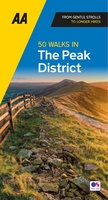 Wandelgids 50 Walks in the Peak District | AA Publishing
Uitstekende wandelgids met een aantal dagtochten tussen de 3 en 15 kilometer. Niet heel erg lang dus, maar wel op de mooiste plekken en goed beschreven en prima kaartmateriaal. Featuring …
★★★★★ Reisgids Slow Travel The Peak District | Bradt Travel Guides
Een bijzondere serie van Bradt guides, waarin een gedeelte van Engeland uitgebreid beschreven wordt. Met veelv aandacht voor kleine details die je niet ao gauw elders zult vinden. Naast de …
 Wandelgids Pennine Way | Trailblazer Guides
Trailblazer British Walking Guide to the Pennine Way, Britain's best-known National Trail that winds for 256 miles through three National Parks - the Peak District, Yorkshire Dales and Northumberland. This …
★★★★★ Reisgids Rough Guide Pocket Peak District (Travel Guide with Free EBook) | Rough Guides
Image for Pocket Rough Guide British Breaks Peak District (Travel Guide with Free eBook) Click to enlarge Pocket Rough Guide British Breaks Peak District (Travel Guide with Free eBook) by …
 Wandelatlas Pennine Way Map Booklet | Cicerone
Heel handig bedacht van uitgever Cicerone: een boekje dat dienst doet als atlas met alle topografische kaarten die je nodig hebt voor het lopen van de Pennine Way. Past goed …
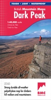 Wandelkaart Dark Peak | Harvey Maps
"The 1:40,000 scale used by British Mountain Maps is excellent for hill walking. These maps provide clear, detailed information." Sir Chris Bonington, mountaineer. Detailed map of the Dark Peak’s …
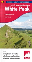 Wandelkaart White Peak | Harvey Maps
"British Mountain Maps are fit for purpose with great cartography, full of relevant information and include a geological map. Imagine a completely waterproof map that is lighter than paper and …
 Wandelgids Peak District | Ordnance Survey
Each walk features a simple-to-follow route profile and accompanying description and pictures, and new-look walk mapping that makes it easier for the user to focus on the route and the …
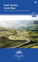 Fietskaart 18 Cycle Maps UK Peak District | Cordee
Een nieuwe fietskaarten serie van Groot-Brittannië. Gedrukt op scheur- en watervast papier en mooi handzaam klein formaat. Deze kaarten zijn met name heel goed om de Lange Afstands Fietsroutes (LF) …
 Wandelgids England Mitte - Engeland midden | Rother Bergverlag
Uitstekende wandelgids met een groot aantal dagtochten in dal en hooggebergte. Met praktische informatie en beperkt kaartmateriaal! Wandelingen in verschillende zwaarte weergegeven in rood/blauw/zwart. 184 Seiten mit 109 Farbabbildungen 52 …
 Wandelgids The Peak District | Pocket Mountains
Leuk wandelgidsje met een ruime keuze aan wandelingen, meestal tussen de 5 en 10 km. Goed beschreven en een redelijk schetsmatig kaartje. Handzaam zakformaat! The Peak District is an …
 Wandelgids 081 Pathfinder Guides Staffordshire | Ordnance Survey
Fraaie, goed verzorgde wandelgidsjes met 28 wandelingen van max. een dag, (beginnend bij korte, eindigend bij langere wandelingen). Weergegeven op duidelijke topografische kaartjes (1:25.000). Bevat verder wetenswaardigheden en praktische informatie …
 Wandelgids 073 Pathfinder Guides More Peak District | Ordnance Survey
This companion to the Pathfinder Peak District Guidebook contains 28 additional circular walks of 3 to 10.5 miles. Like the main book, each is graded length difficulty, and ranger from …
Laatste reviews

Kan de huidige ontstuimige ontwikkelingen wereldwijd, nu ook geografisch plaatsen en daarmee beter volgen.
★★★★★ door Leo Janssen 20 december 2024 | Heeft dit artikel gekocht
We hadden Piëmonte al eens bezocht en voor onze komende reis werd ons door kennissen deze gids aanbevolen. Inderdaad is dit een heel goede gids. …
★★★★★ door DWKdB 19 december 2024 | Heeft dit artikel gekocht
Mijn bestellingen zijn altijd goed en worden altijd op tijd geleverd. Komen afspraken goed na. Erg tevreden.
★★★★★ door Ben Wegdam 19 december 2024 | Heeft dit artikel gekocht
Zeer gedetailleerde kaart van het zuidelijke deel van het douaniers pad
★★★★★ door Marian 18 december 2024 | Heeft dit artikel gekocht