Wandelgids Lune Valley & Howgills | Cicerone (9781852849160)
- ISBN / CODE: 9781852849160
- Editie: 06-11-2017
- Druk: 2
- Aantal blz.: 208
- Auteur(s): Dennis Kelsall
- Uitgever: Cicerone
- Soort: Wandelgids
- Taal: Engels
- Hoogte: 17.0 cm
- Breedte: 12.0 cm
- Gewicht: 241.0 g
- Bindwijze: Paperback
- Uitvoering: -
- Schrijf als eerste een review
-
€ 17,95
Leverbaar in 3 - 5 werkdagen in huis in Nederland Levertijd Belgie
Gratis verzending in Nederland vanaf €35,-

Beschrijving
Van de uitgever
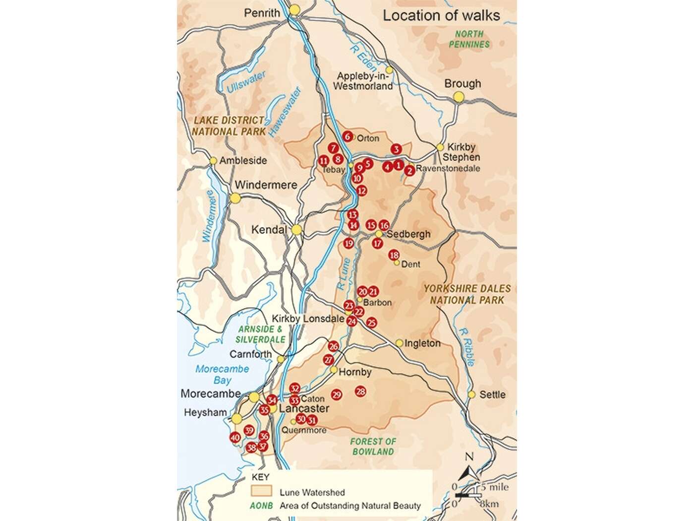
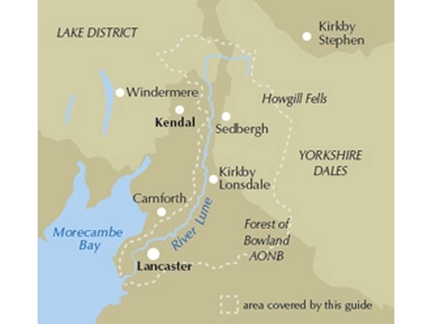
Guidebook to 40 walks, from 3 to 11 miles, exploring the Lune Valley and Howgill Fells, some of the most unspoilt countryside in north west England. Set mainly within the Yorkshire Dales National Park, and the AONBs of Bowland and Arnside and Silverdale, the walking is hugely rewarding, near the centres of Sedbergh, Kendal and Lancaster.
Seasons:
Come spring and early summer, the woodlands, meadows and hedgerows are at their most colourful, and you'll likely get the best weather too. As summer fades, autumnal hues paint another magical time. Crisp winter days can open wonderful distant views, but the weather can sometimes create challenging conditions, even for experienced walkers.
Centres:
Useful facilities exist at the few small towns and larger villages covered by the area, the main centres being Tebay, Sedbergh, Dent, Kirkby Lonsdale and Lancaster.
Difficulty:
The lowland walks are generally without difficulty, but venture onto the higher moors and hills of the Howgill Fells and Bowland fringe, and competent navigation skills and stamina become necessary, particularly in winter. Good footwear, wind and waterproofs underlie basic equipment requirements. Non of the routes demand climbing skills, although some steep gradients may be involved.
Must See:
The Howgill Fells are the main area of high ground covered within the book, the highest point of which is The Calf at 672m. Several of the other summits are also included such as Randygill Top, Green Bell and Docker Knott, with walks routed through the long valleys and along the broad ridges that are such a dominant feature of the area. Other satisfying heights include neighbouring Borrowdale, Middleton Fell and Clougha Pike. Elsewhere, the focus is on the River Lune and its immediate tributaries, exploring its changing character as it winds to the sea.
Reviews
Geen reviews gevonden voor dit product.
Schrijf een review
Graag horen wij wat u van dit artikel vindt. Vindt u het goed, leuk, mooi, slecht, lelijk, onbruikbaar of erg handig: schrijf gerust alles op! Het is niet alleen leuk om te doen maar u informeert andere klanten er ook nog mee!
Ook interessant voor europa/engeland/north-west-england
-

Wandelgids Easy Walks from the Sands
€ 10,95Wandelgidsen North West England -

Reisgids Slow Travel Cheshire | Brad
€ 18,50Reisgidsen North West England -

Wegenatlas Local Explorer Street Atl
€ 23,95Wegenatlassen North West England -

Fietsgids C2C Guide Sea to sea by bi
€ 15,50Fietsgidsen North East England -

Stadsplattegrond Pocket Street Map B
€ 7,95Stadsplattegronden North West England