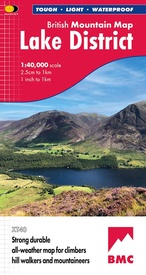
Wandelkaart Lake District | Harvey Maps (9781851376865)
- ISBN / CODE: 9781851376865
- Editie: 01-06-2024
- Aantal blz.: 1
- Schaal: 1:40000
- Uitgever: Harvey Maps
- Soort: Wandelkaart
- Serie: British Mountain Maps
- Taal: Engels
- Hoogte: 24.0 cm
- Breedte: 14.0 cm
- Gewicht: 98.0 g
- Bindwijze: -
- Uitvoering: Scheur- en watervast
- Schrijf als eerste een review
-
€ 31,95
Leverbaar in 3 - 5 werkdagen in huis in Nederland Levertijd Belgie
Gratis verzending in Nederland vanaf €35,-
-
Overzicht British Mountain Maps

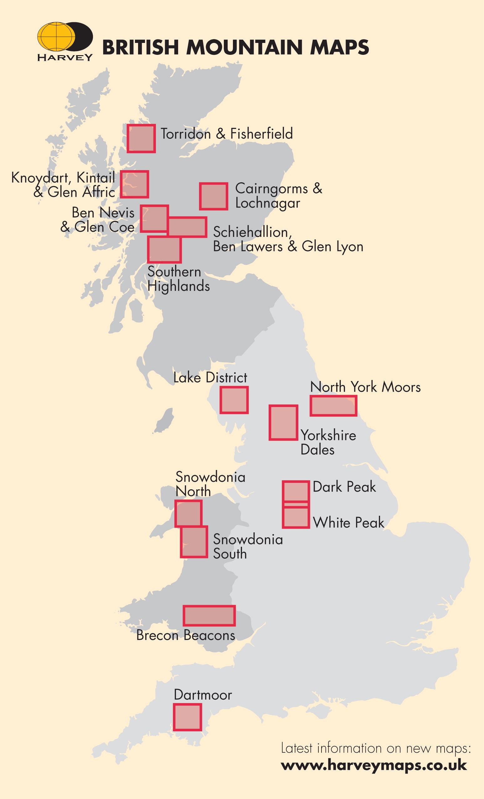
Producten op deze overzichtskaart:
Klik op een product om naar de pagina van dat product te gaan.
- Wandelkaart Assynt & Coigach | Harvey Maps
- Wandelkaart Ben Nevis & Glen Coe | Harvey Maps
- Wandelkaart Brecon Beacons | Harvey Maps
- Wandelkaart Cairngorms & Lochnagar | Harvey Maps
- Wandelkaart Dark Peak | Harvey Maps
- Wandelkaart Dartmoor | Harvey Maps
- Wandelkaart Knoydart / Kintail & Glen Affric | Harvey Maps
- Wandelkaart Lake District | Harvey Maps
- Wandelkaart North York Moors | Harvey Maps
- Wandelkaart Schiehallion / Ben Lawers & Glen Lyon | Harvey Maps
- Wandelkaart Snowdonia Noord | Harvey Maps
- Wandelkaart Snowdonia Zuid | Harvey Maps
- Wandelkaart Southern Highlands XT40 BMM | Harvey Maps
- Wandelkaart Torridon & Fisherfield | Harvey Maps
- Wandelkaart White Peak | Harvey Maps
- Wandelkaart Yorkshire Dales | Harvey Maps
Overzichtskaarten
Beschrijving
"The best Lake District map I have ever seen. The 1:40,000 scale provides clear, detailed information to one of the most popular hill walking areas in Britain." Sir Chris Bonington, mountaineer.
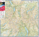
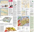
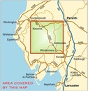
A new generation of tough polyethylene maps. These maps are a leap forward in technical excellence. Tough, durable and 100% waterproof they are compact - not the great bulky package you get with a laminated map - and light to carry. This all weather British Mountain Map for climbers, hill wallkers, mountaineers and mountain bikers is published by HARVEY in co-operation with the British Mountaineering Council. The Lake District's famous mountains and fells on a single map, colour shading for easy identification of hills and valleys and detailed crag information for climbers. The reverse side of the map includes detailed 1:20000 enlargements of Scafell, Gable, Bowfell, Langdale Pikes and Pillar, a Geological map of the Lake District, mountain incident and first aid advice.
Reviews
Geen reviews gevonden voor dit product.
Schrijf een review
Graag horen wij wat u van dit artikel vindt. Vindt u het goed, leuk, mooi, slecht, lelijk, onbruikbaar of erg handig: schrijf gerust alles op! Het is niet alleen leuk om te doen maar u informeert andere klanten er ook nog mee!

