Wandelgidsen - Engeland
De beste wandelgidsen over de mooiste wandelroutes in Engeland kopen? Bestel online bij Reisboekwinkel de Zwerver!
Ontdek met wandelgidsen de mooiste wandelroutes in de Cotswolds, Yorkshire, het Lake District en andere prachtige gebieden in Engeland
Of ontdek de Lake District, deze prachtige regio van Engeland wordt vaak beschouwd als een van de mooiste wandelgebieden vanwege de dramatische landschappen, de schilderachtige meren en de adembenemende uitzichten.
Overzichtskaarten
-
Overzicht Pathfinder Guides | Ordnance Survey

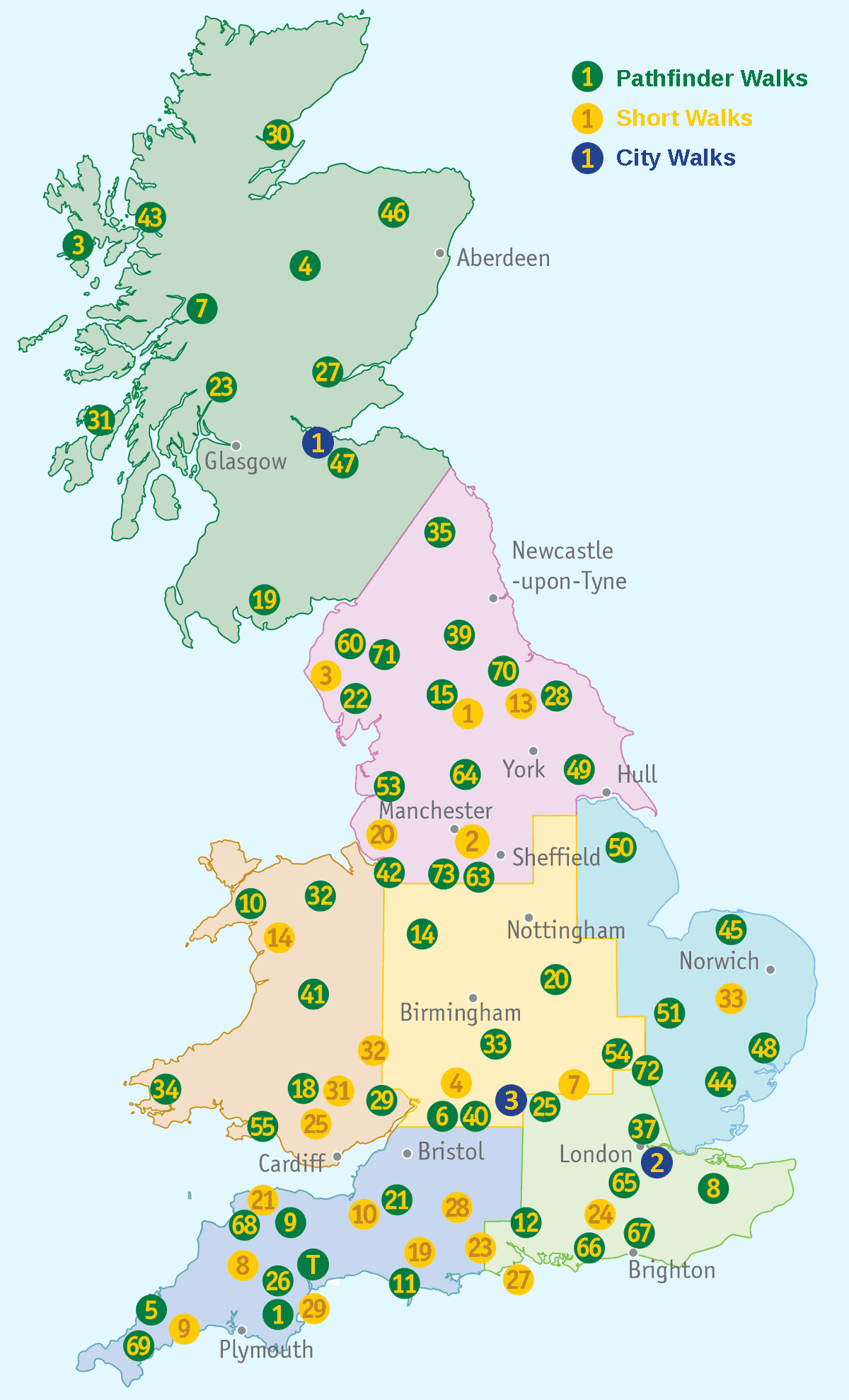
Producten op deze overzichtskaart:
Klik op een product om naar de pagina van dat product te gaan.
- Wandelgids 001 Pathfinder Guides South Devon & Dartmoor | Ordnance Survey
- Wandelgids 003 Pathfinder Guides Isle of Skye | Ordnance Survey
- Wandelgids 004 Pathfinder Guides Cairngorms | Ordnance Survey
- Wandelgids 005 Pathfinder Guides Cornwall | Ordnance Survey
- Wandelgids 006 Pathfinder Guides Cotswolds | Ordnance Survey
- Wandelgids 007 Pathfinder Guides Fort William & Glen Coe | Ordnance Survey
- Wandelgids 008 Pathfinder Short Walks Dartmoor | Ordnance Survey
- Wandelgids 008 Pathfinder Guides Kent | Ordnance Survey
- Wandelgids 009 Pathfinder Guides Exmoor & the Quantocks | Ordnance Survey
- Wandelgids 010 Pathfinder Guides Snowdonia | Ordnance Survey
- Wandelgids 011 Pathfinder Guides Dorset | Ordnance Survey
- Wandelgids 012 Pathfinder Guides New Forest, Hampshire and South Downs | Ordnance Survey
- Wandelgids 014 Pathfinder Short Walks Snowdonia | Ordnance Survey
- Wandelgids 015 Pathfinder Guides Yorkshire Dales | Ordnance Survey
- Wandelgids 018 Pathfinder Guides Brecon Beacons | Ordnance Survey
- Wandelgids 019 Pathfinder Guides Dumfries & Galloway | Ordnance Survey
- Wandelgids 020 Pathfinder Guides Sherwood Forest & the East Midlands | Ordnance Survey
- Wandelgids 023 Pathfinder Guides Loch Lomond , The Trossachs and Stirling | Ordnance Survey
- Wandelgids 025 Pathfinder Guides Thames Valley and Chilterns | Ordnance Survey
- Wandelgids 026 Pathfinder Guides Dartmoor | Ordnance Survey
- Wandelgids 027 Pathfinder Guides Perthshire, Angus & Fife | Ordnance Survey
- Wandelgids 028 Pathfinder Guides North York Moors | Ordnance Survey
- Wandelgids 029 Pathfinder Guides Wye Valley and Forest of Dean | Ordnance Survey
- Wandelgids 030 Pathfinder Guides Loch Ness and Inverness | Ordnance Survey
- Wandelgids 031 Pathfinder Short Walks Brecon Beacons | Ordnance Survey
- Wandelgids 031 Pathfinder Guides Oban, Mull & Kintyre | Ordnance Survey
- Wandelgids 034 Pathfinder Guides Pembrokeshire & Carmarthenshire | Ordnance Survey
- Wandelgids 039 Pathfinder Guides Durham, north Pennines and Tyne and Wear | Ordnance Survey
- Wandelgids 041 Pathfinder Guides Mid Wales | Ordnance Survey
- Wandelgids 042 Pathfinder Guides Cheshire | Ordnance Survey
- Wandelgids 044 Pathfinder Guides Essex | Ordnance Survey
- Wandelgids 045 Pathfinder Guides Norfolk | Ordnance Survey
- Wandelgids 046 Pathfinder Guides Aberdeen & Royal Deeside | Ordnance Survey
- Wandelgids 047 Pathfinder Guides Edinburgh, Pentlands & the Lothians | Ordnance Survey
- Wandelgids 048 Pathfinder Guides Suffolk | Ordnance Survey
- Wandelgids 049 Pathfinder Guides Vale of York and the Yorkshire Wolds | Ordnance Survey
- Wandelgids 050 Pathfinder Guides Pathfinder Lincolnshire & the Wolds | Ordnance Survey
- Wandelgids 051 Pathfinder Guides Cambridgeshire & the Fens | Ordnance Survey
- Wandelgids 053 Pathfinder Guides Lancashire | Ordnance Survey
- Wandelgids 054 Pathfinder Guides Hertfordshire and Bedfordshire | Ordnance Survey
- Wandelgids 055 Pathfinder Guides Gower, Swansea and Cardiff | Ordnance Survey
- Wandelgids 060 Pathfinder Guides Lake District | Ordnance Survey
- Wandelgids 063 Pathfinder Guides Peak District | Ordnance Survey
- Wandelgids 064 Pathfinder Guides South Pennines | Ordnance Survey
- Wandelgids 065 Pathfinder Guides Surrey | Ordnance Survey
- Wandelgids 066 Pathfinder Guides West Sussex and the South Downs National Park | Ordnance Survey
- Wandelgids 067 Pathfinder Guides South Downs National Park & East Sussex | Ordnance Survey
- Wandelgids 068 Pathfinder Guides North and Mid Devon | Ordnance Survey
- Wandelgids 069 Pathfinder Guides South West England's Coast | Ordnance Survey
- Wandelgids 071 Pathfinder Guides The High Fells of Lakeland | Ordnance Survey
- Wandelgids 072 Pathfinder Guides The Home Counties from London by Train | Ordnance Survey
- Wandelgids 073 Pathfinder Guides More Peak District | Ordnance Survey
- Wandelgids 074 Pathfinder Guides The Malverns to Warwickshire | Ordnance Survey
- Wandelgids 076 Pathfinder Guides Somerset & the Mendips | Ordnance Survey
- Wandelgids 077 Pathfinder Guides Wiltshire | Ordnance Survey
- Wandelgids 078 Pathfinder Guides Anglesey, Lleyn and Snowdonia | Ordnance Survey
- Wandelgids 079 Pathfinder Guides Dee Valley, Clwydian Hills and North East Wales | Ordnance Survey
- Wandelgids 080 Pathfinder Guides Shropshire | Ordnance Survey
- Wandelgids 081 Pathfinder Guides Staffordshire | Ordnance Survey
- Wandelgids 082 Pathfinder Guides Orkney and Shetland | Ordnance Survey
- Wandelgids 084 Pathfinder Guides Berkshire, Buckinghamshire and Oxfordshire | Ordnance Survey
- Wandelgids 087 Pathfinder Guides Northumberland | Ordnance Survey
 Wandelgids 031 Pathfinder Guides Oban, Mull & Kintyre | Ordnance Survey
Wandelgids van een deel van Schotland. Deze gids bevat 28 dagwandelingen, variërend van korte tochten tot pittige dagtochten. De bijbehorende kaarten zijn uitstekend: men heeft de topografische kaarten van Ordnance …
 Wandelgids 048 Pathfinder Guides Suffolk | Ordnance Survey
Fraaie, goed verzorgde wandelgidsjes met 28 wandelingen van max. een dag, (beginnend bij korte, eindigend bij langere wandelingen). Weergegeven op duidelijke topografische kaartjes (1:25.000). Bevat verder wetenswaardigheden en praktische informatie …
 Wandelgids 015 Pathfinder Guides Yorkshire Dales | Ordnance Survey
Wandelgids van een deel van Engeland. Deze gids bevat 28 dagwandelingen, variërend van korte tochten tot pittige dagtochten. De bijbehorende kaarten zijn uitstekend: men heeft de topografische kaarten van Ordnance …
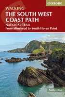 Wandelgids The South West Coast Path | Cicerone
Goede wandelgids van het langste gemarkeerde wandelpad van Groot Brittanië; 1015 km! Uit de bekende Cicerone serie, dus met mooie foto's en duidelijke routebeschrijvingen en kaartjes. The South West Coast …
★★★★★★★★★★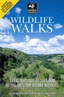 Wandelgids Wildlife Walks | Wildlife Trust
This guide offers both nature lovers and families everything they need to know when looking for a day out in the fresh air and being part of the UK's conservation …
 Wandelgids Great Britain & Ireland | Vertebrate Publishing
Big Trails: Great Britain & Ireland is an inspirational guide to the most iconic, spectacular and popular long-distance trails in England, Scotland, Wales, Northern Ireland, Ireland and the Isle of …
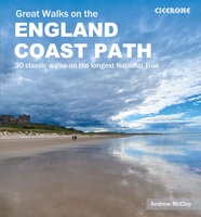 Wandelgids Great Walks on the England Coast Path | Cicerone
Guidebook to 30 routes celebrating the best day and weekend walks on the England Coast Path, a new National Trail. Includes a varied selection of walks along the country's diverse …
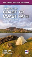 Wandelgids Trekking the Coast to Coast Path | Knife Edge Outdoor
The definitive two-way guide to the Coast to Coast Path: both eastbound and westbound routes are described in full. Real Maps: Full Ordnance Survey mapping inside (1:25,000). All accommodation is …
★★★★★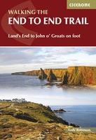 Wandelgids Walking The End to End Trail | Cicerone
Een droomroute voor velen: helemaal van het zuidelijkste puntje van Engeland naar het noordelijkste puntje van Schotland, zo'n slordige 1956 km door fabelachtig mooie afwisselende landschappen. Zeer gedetailleerd beschreven met …
 Wandelgids Wildlife Walks | Bloomsbury
The definitive guide to Britain's stunning wildlife heritage, showcasing more than 475 walks through the Wildlife Trust's forest, heaths, moors and woods. Published in conjunction with the Wildlife Trusts, …
 Wandelgids England Süd - Engeland Zuid | Rother Bergverlag
Uitstekende wandelgids met een groot aantal dagtochten in dal en hooggebergte. Met praktische informatie en beperkt kaartmateriaal! Wandelingen in verschillende zwaarte weergegeven in rood/blauw/zwart England at its best! Die mystischen …
 Wandelgids 049 Pathfinder Guides Vale of York and the Yorkshire Wolds | Ordnance Survey
Wandelgids van een deel van Engeland. Deze gids bevat 28 dagwandelingen, variërend van korte tochten tot pittige dagtochten. De bijbehorende kaarten zijn uitstekend: men heeft de topografische kaarten van Ordnance …
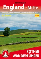 Wandelgids England Mitte - Engeland midden | Rother Bergverlag
Uitstekende wandelgids met een groot aantal dagtochten in dal en hooggebergte. Met praktische informatie en beperkt kaartmateriaal! Wandelingen in verschillende zwaarte weergegeven in rood/blauw/zwart. 184 Seiten mit 109 Farbabbildungen 52 …
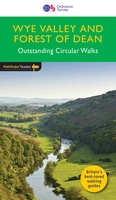 Wandelgids 029 Pathfinder Guides Wye Valley and Forest of Dean | Ordnance Survey
Wandelgids Wye Valley en Forest of Dean. Deze gids bevat 28 dagwandelingen, variërend van korte tochten tot pittige dagtochten. De bijbehorende kaarten zijn uitstekend: men heeft de topografische kaarten van …
★★★★★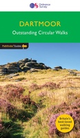 Wandelgids 026 Pathfinder Guides Dartmoor | Ordnance Survey
Wandelgids van een deel van Engeland. Deze gids bevat 28 dagwandelingen, variërend van korte tochten tot pittige dagtochten. De bijbehorende kaarten zijn uitstekend: men heeft de topografische kaarten van Ordnance …
★★★★★★★★★★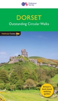 Wandelgids 011 Pathfinder Guides Dorset | Ordnance Survey
Wandelgids van een deel van Engeland. Deze gids bevat 28 dagwandelingen, variërend van korte tochten tot pittige dagtochten. De bijbehorende kaarten zijn uitstekend: men heeft de topografische kaarten van Ordnance …
 Wandelgids 006 Pathfinder Guides Cotswolds | Ordnance Survey
180 miles of wonderful walking in idyllic, limestone countryside . . . Take a journey on 28 beautiful walks across the Cotswolds with the OS Pathfinder Guidebooks, graded by …
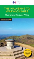 Wandelgids 074 Pathfinder Guides The Malverns to Warwickshire | Ordnance Survey
Discover 28 beautiful walks across The Malverns to Warwickshire with the OS Pathfinder Guidebooks, graded by length and ranging from 3 to 9 miles - ideal for both holidaymakers and …
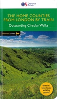 Wandelgids 072 Pathfinder Guides The Home Counties from London by Train | Ordnance Survey
The all-revised edition contains 27 carefully selected walks, all chosen to be easily accessible from London's main railway stations. The routes lie across Essex, Bedfordshire, Oxfordshire, Surrey, West Sussex, East …
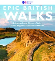 Wandelgids Epic British Walks | Ordnance Survey
This magnificent collection of truly EPIC WALKS brings together Britain’s most beautiful countryside with the long-distance trails that present the very best means of experiencing it. An inspiring introduction …
★★★★★
Ontdek prachtige dagtochten in Engeland met handige wandelgidsen
Verken de avontuurlijke meerdaagse wandeltochten in Engeland
Of bewandel de Hadrian’s Wall Path, een schitterende wandeling die de historische lijn van de Romeinse muur van keizer Hadrianus volgt, en zich uitstrekt van Wallsend bij Newcastle upon Tyne in het oosten tot Bowness-on-Solway in het westen.
De beste wandelgidsen over wandelroutes in Engeland kunt u gemakkelijk bij ons online kopen
Laatste reviews

Kan de huidige ontstuimige ontwikkelingen wereldwijd, nu ook geografisch plaatsen en daarmee beter volgen.
★★★★★ door Leo Janssen 20 december 2024 | Heeft dit artikel gekocht
We hadden Piëmonte al eens bezocht en voor onze komende reis werd ons door kennissen deze gids aanbevolen. Inderdaad is dit een heel goede gids. …
★★★★★ door DWKdB 19 december 2024 | Heeft dit artikel gekocht
Mijn bestellingen zijn altijd goed en worden altijd op tijd geleverd. Komen afspraken goed na. Erg tevreden.
★★★★★ door Ben Wegdam 19 december 2024 | Heeft dit artikel gekocht
Zeer gedetailleerde kaart van het zuidelijke deel van het douaniers pad
★★★★★ door Marian 18 december 2024 | Heeft dit artikel gekocht

