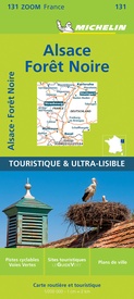
Wegenkaart - landkaart 131 Forêt Noire, Alsace, Vallée du Rhin | Michelin (9782067209879)
- ISBN / CODE: 9782067209879
- Editie: 01-06-2022
- Aantal blz.: 1
- Schaal: 1:200000
- Uitgever: Michelin
- Soort: Wegenkaart
- Serie: Zoom
- Taal: Frans
- Hoogte: 25.0 cm
- Breedte: 11.0 cm
- Gewicht: 98.0 g
- Uitvoering: Papier
- Bindwijze: -
- Schrijf als eerste een review
-
€ 10,95
Op voorraad. Voor 17.00 uur op werkdagen besteld, morgen in huis in Nederland Levertijd Belgie
Gratis verzending in Nederland vanaf €35,-
-
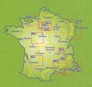
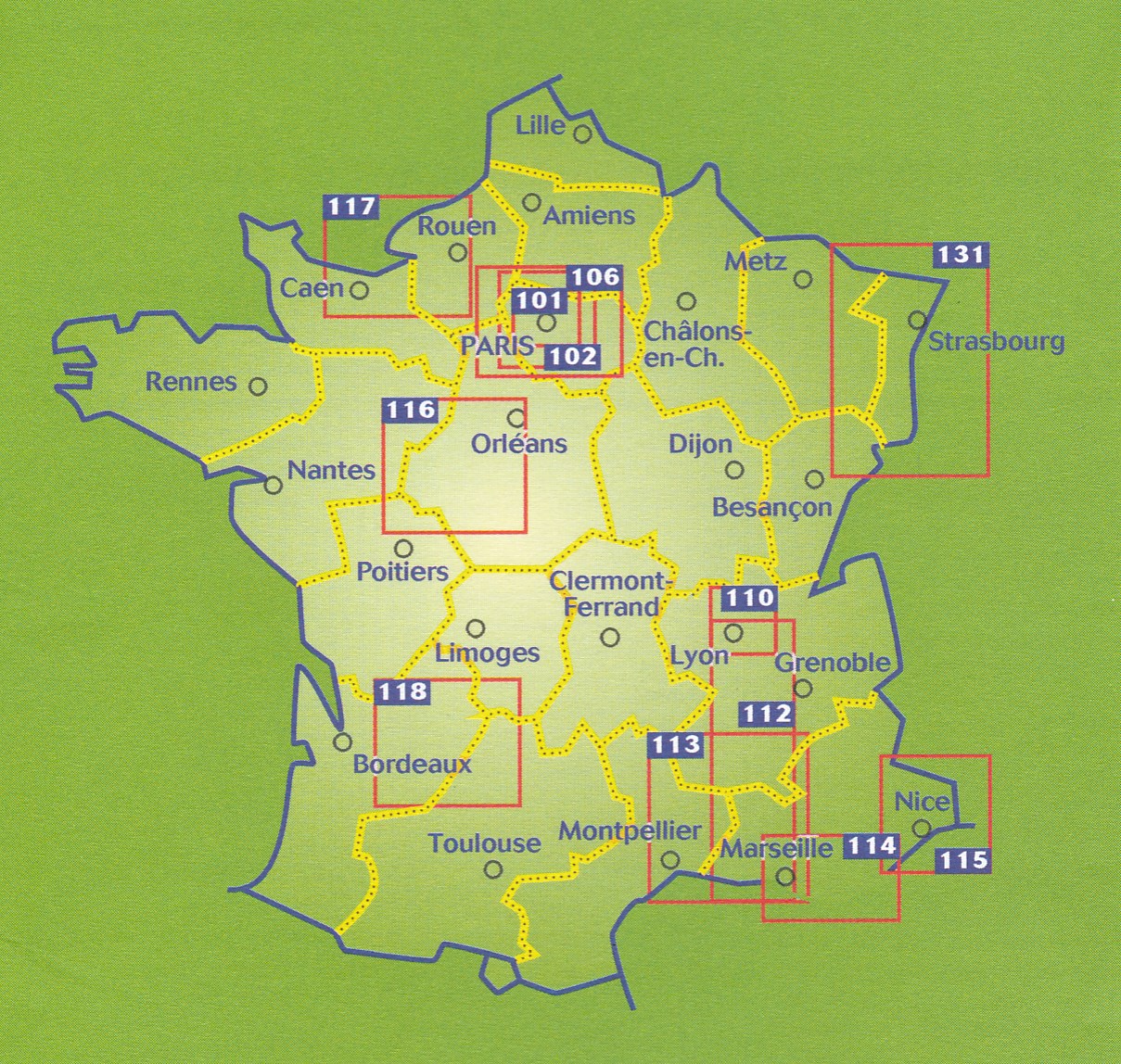
Overzicht wegenkaarten Michelin Zoom


Producten op deze overzichtskaart:
Klik op een product om naar de pagina van dat product te gaan.
- Wegenkaart - landkaart - Stadsplattegrond 101 Banlieue de Paris Parijs | Michelin
- Wegenkaart - landkaart - Stadsplattegrond 102 Paris et ses alentours | Michelin
- Wegenkaart - landkaart - Stadsplattegrond 106 Environ de Paris - Parijs | Michelin
- Wegenkaart - landkaart 113 Camargue – Provence | Michelin
- Wegenkaart - landkaart 114 Pays Varois - Gorges de Verdon | Michelin
- Wegenkaart - landkaart 115 Côte d'Azur - Massif de l'Esterel | Michelin
- Wegenkaart - landkaart 116 Val De Loire Et Chateaux - Loire vallei en kastelen | Michelin
- Wegenkaart - landkaart 117 Côte Normande | Michelin
- Wegenkaart - landkaart 131 Forêt Noire, Alsace, Vallée du Rhin | Michelin
Overzichtskaarten
Beschrijving
Speciale toeristische kaart, gemaakt voor een goed bezocht gebied en uitvergroot. Daardoor zeer prettig leesbaar met een hoog nivo wat we van Michelin al veel langer gewend zijn. Alle wegen staan er op, met verschillende kleuren voor de aparte soorten wegen. Verder veel aandacht met symbolen voor de bezienswaardigheden in de regio, de bekende groene stroken naast de mooie wegen en ingetekende doorgaande wandelroutes als grande randonnees.
Part of Michelin's Zoom series covering major towns and popular holiday areas throughout France, this map of the Black Forest, Alsace and the Rhine Valley covers both sides of the Rhine Valley, extending from northern Switzerland to Saarland and Heidelberg, with the Black Forest on the German side and the Vosges mountains in France.
The map shows road detail from motorways to rough tracks and footpaths, with intermediate road distances shown on most roads, toll and toll-free sections of motorways are indicated and various road obstacles such as steep hills, height limits, one way streets and prohibited roads are marked. The map also shows cycling routes chosen by the Association Francaise des Veloroutes et Voies Vertes and some of the long-distance GR routes.
The map includes relief shading and spot heights to indicate topography. View points, scenic routes, religious and historic buildings, caves, palaces and villas, parks and loads of other places of touristic interest are marked out with symbols. The legend is in French and English.
Let op: het kaartvoorbeeld is van een andere kaart uit deze serie.
Bâle, Fribourg-en-Brisgau, Gérardmer, Mulhouse, Saverne, Strasbourg
Reviews
Geen reviews gevonden voor dit product.
Schrijf een review
Graag horen wij wat u van dit artikel vindt. Vindt u het goed, leuk, mooi, slecht, lelijk, onbruikbaar of erg handig: schrijf gerust alles op! Het is niet alleen leuk om te doen maar u informeert andere klanten er ook nog mee!


