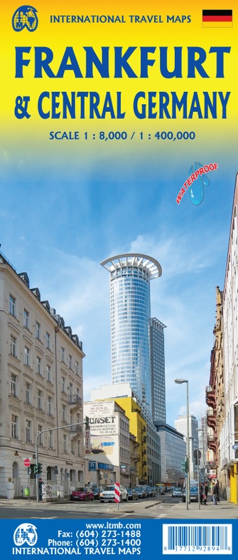
Stadsplattegrond - Wegenkaart - landkaart Frankfurt / Midden-Duitsland | ITMB (9781771292894)
- ISBN / CODE: 9781771292894
- Editie: 25-11-2022
- Druk: 1
- Aantal blz.: 1
- Schaal: 1:8000
- Uitgever: ITMB
- Soort: Stadsplattegrond, Wegenkaart
- Taal: Engels
- Hoogte: 25.0 cm
- Breedte: 10.0 cm
- Gewicht: 125.0 g
- Uitvoering: Scheur- en watervast
- Bindwijze: -
- Schrijf als eerste een review
-
€ 12,95
Leverbaar in 3 - 5 werkdagen in huis in Nederland Levertijd Belgie
Gratis verzending in Nederland vanaf €35,-
Beschrijving
Van de uitgever
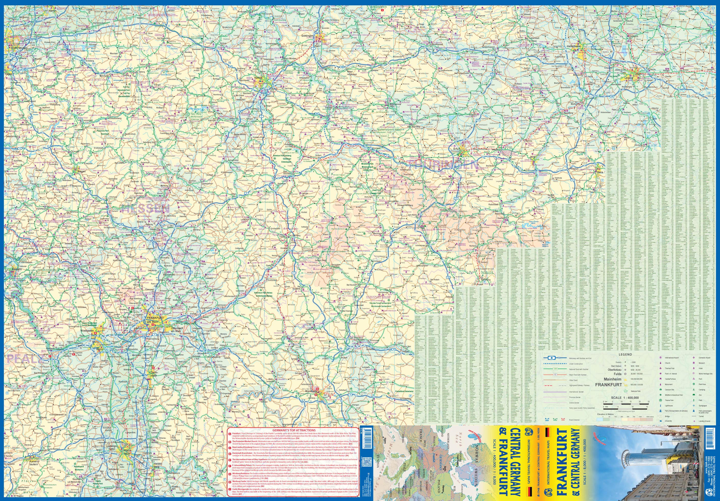
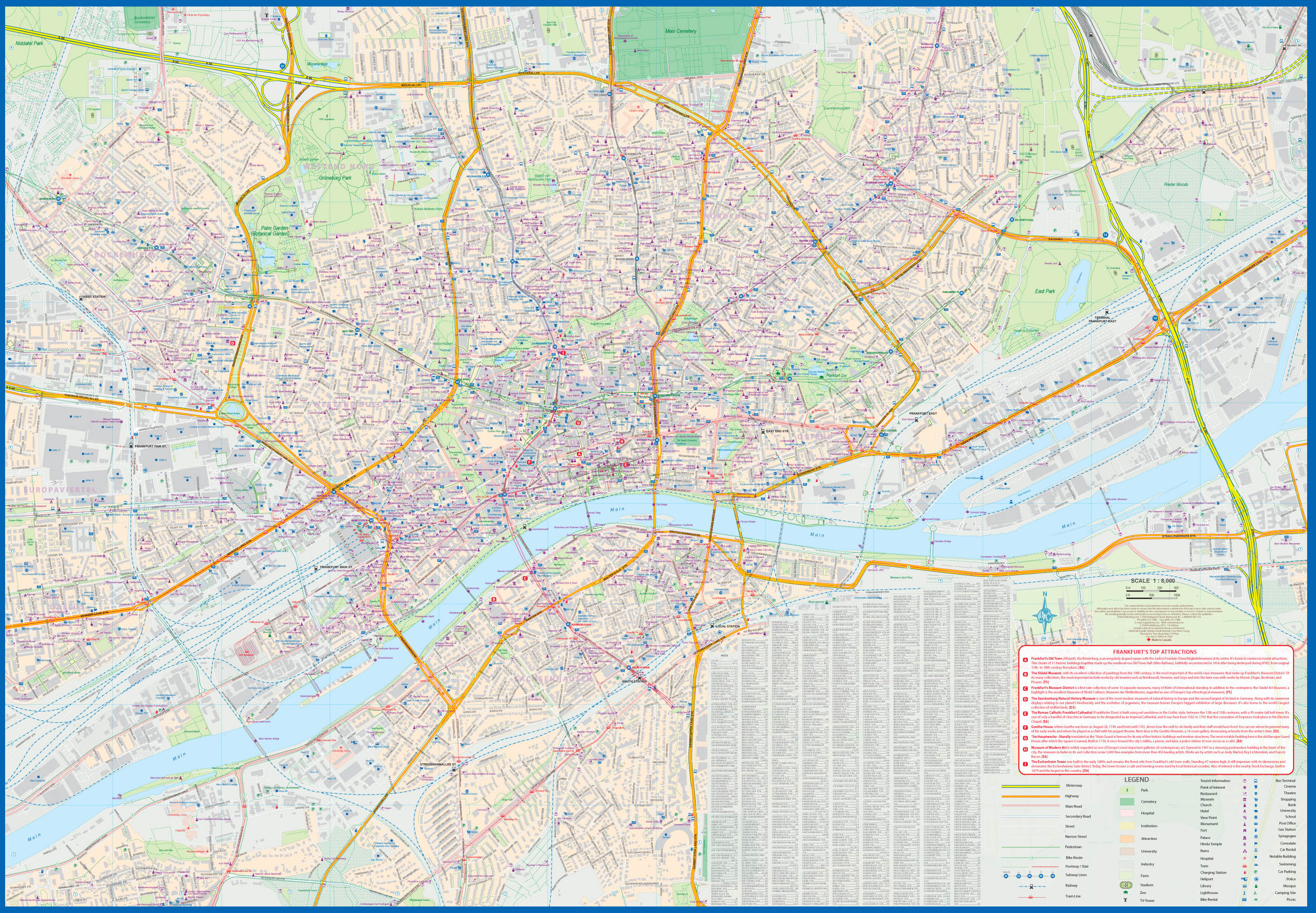
Stadsplan Frankfurt & Wegenkaart Midden-Duitsland
The historic city of Frankfurt started as a Roman city. The Romer (Roman, in English) central old town was the Roman encampment, and the current market square was the forum. The reverse side is extremely important, covering central Germany in detail. This is also one of the most-travelled parts of Europe, so we have created a new map showing all the touristic destinations from the Rhine to Leipzig and from Gottingen south to Wurzburg. The map is printed on stone paper for both durability and resistance to water, a perfect umbrella in an emergency!
Reviews
Geen reviews gevonden voor dit product.
Schrijf een review
Graag horen wij wat u van dit artikel vindt. Vindt u het goed, leuk, mooi, slecht, lelijk, onbruikbaar of erg handig: schrijf gerust alles op! Het is niet alleen leuk om te doen maar u informeert andere klanten er ook nog mee!
Ook interessant voor europa/duitsland/frankfurt
-

Reisgids Best of Germany | Lonely Pl
€ 23,95Reisgidsen Duitsland -

Wandelgids Hikeline Fernwanderwege D
€ 11,95Wandelgidsen Duitsland -

Klimgids - Klettersteiggids Kletters
€ 35,95Klimgids - Klettersteiggidsen Duitsland -

Campergids Dem Grünen Band entlang |
€ 21,50Campergidsen Duitsland -

Wegenkaart - landkaart 5 Hessen Rhei
€ 13,95Wegenkaarten Rheinland Pfalz | Rijnland Palts