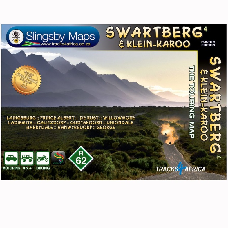
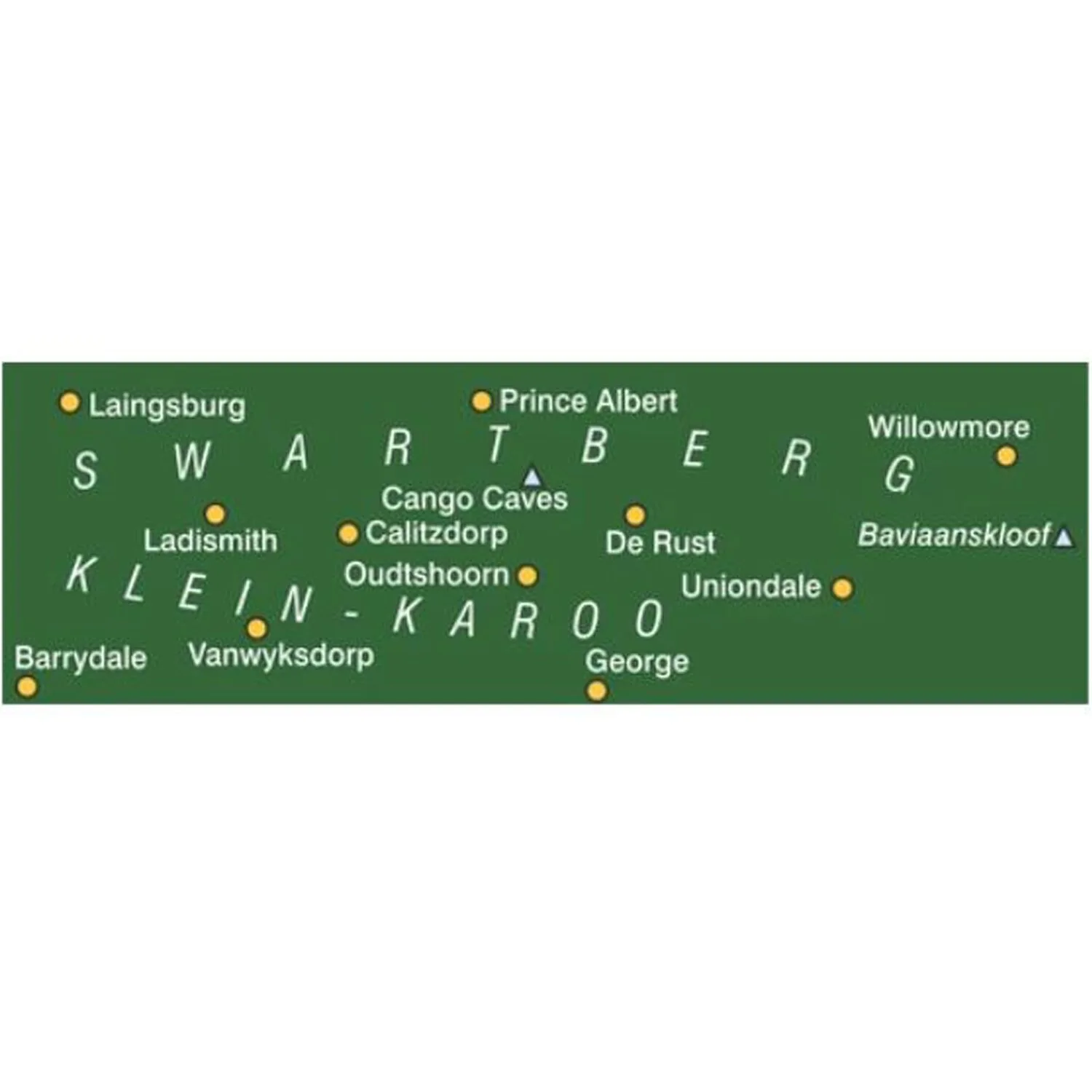
Wegenkaart - landkaart South Africa: Swartberg & Klein-Karoo | Slingsby Maps (9781776322787)
- ISBN / CODE: 9781776322787
- Editie: 01-01-2023
- Druk: 4
- Aantal blz.: 1
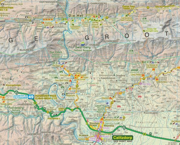
- Schaal: 1:160000
- Uitgever: Slingsby Maps
- Soort: Wegenkaart
- Taal: Engels
- Hoogte: 22.0 cm
- Breedte: 15.0 cm
- Dikte: 0.5 cm
- Gewicht: 62.0 g
- Uitvoering: Scheur- en watervast
- Bindwijze: -
- Schrijf als eerste een review
-
€ 29,95
Leverbaar in 3 - 5 werkdagen in huis in Nederland Levertijd Belgie
Gratis verzending in Nederland vanaf €35,-
Beschrijving
Reviews
Geen reviews gevonden voor dit product.
Schrijf een review
Graag horen wij wat u van dit artikel vindt. Vindt u het goed, leuk, mooi, slecht, lelijk, onbruikbaar of erg handig: schrijf gerust alles op! Het is niet alleen leuk om te doen maar u informeert andere klanten er ook nog mee!
Ook interessant voor afrika/zuid-afrika
-

Wandelkaart South Africa: Silvermine
€ 29,95Wandelkaarten Zuid-Afrika -

Reisgids Kruger National Park Self-D
€ 52,50Reisgidsen Krugerpark -

Stadsplattegrond Durban Coastline &
€ 8,95Stadsplattegronden Zuid-Afrika -

Reisverhaal Ek sien jou! | Esther Bo
€ 12,50Reisverhalen Zuid-Afrika -

Fotoboek - Opruiming Zuid Afrika - e
€ 10,00Fotoboeken Zuid-Afrika