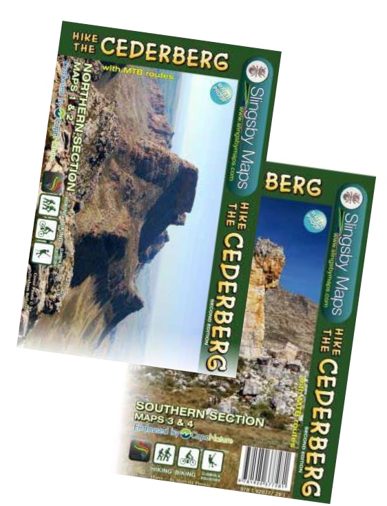
Wandelkaart South Africa: Hike the Cederberg | Slingsby Maps (9781920377489)
- ISBN / CODE: 9781920377489
- Editie: 01-06-2021
- Druk: 4
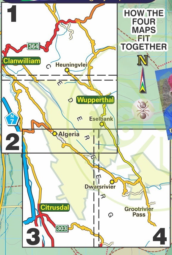
- Aantal blz.: 2
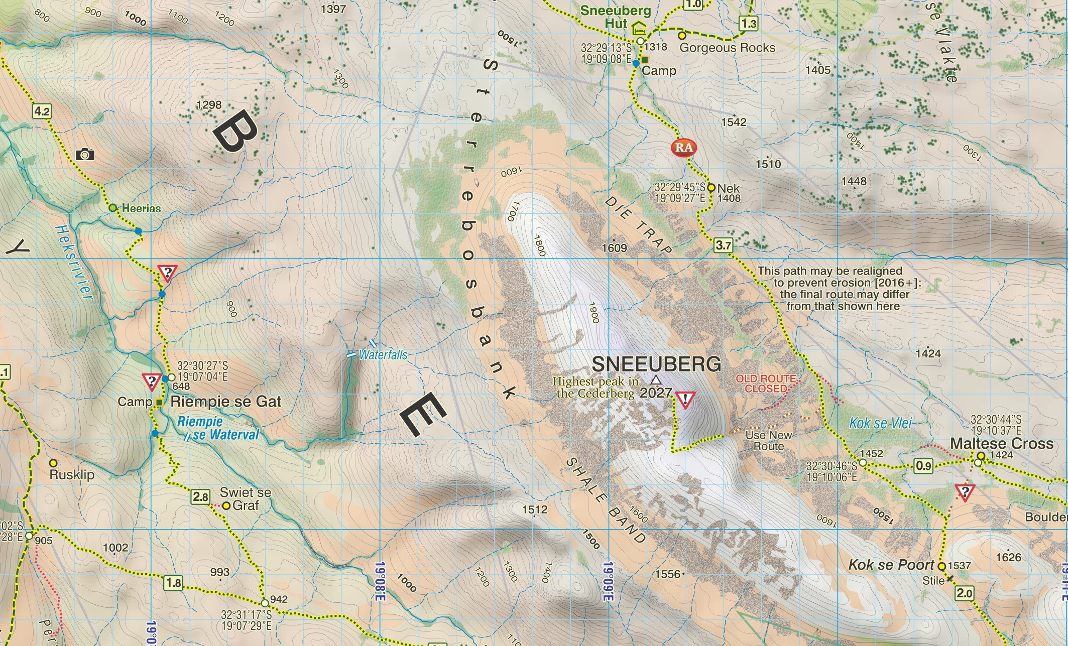
- Schaal: 1:40000
- Uitgever: Slingsby Maps
- Soort: Wandelkaart
- Taal: Engels
- Hoogte: 22.0 cm
- Breedte: 15.0 cm
- Dikte: 1.5 cm
- Gewicht: 173.0 g
- Uitvoering: Scheur- en watervast
- Bindwijze: -
- Schrijf als eerste een review
-
€ 29,95
Leverbaar in 3 - 5 werkdagen in huis in Nederland Levertijd Belgie
Gratis verzending in Nederland vanaf €35,-
Beschrijving
Reviews
Geen reviews gevonden voor dit product.
Schrijf een review
Graag horen wij wat u van dit artikel vindt. Vindt u het goed, leuk, mooi, slecht, lelijk, onbruikbaar of erg handig: schrijf gerust alles op! Het is niet alleen leuk om te doen maar u informeert andere klanten er ook nog mee!
Ook interessant voor afrika/zuid-afrika
-

Campinggids - Campergids Camp and Ca
€ 32,95Campergidsen Zuid-Afrika -

Stadsplattegrond Streetmap Durban |
€ 11,50Stadsplattegronden Zuid-Afrika -

Wegenkaart - landkaart SC7-SC8 Bavia
€ 29,95Wegenkaarten Zuid-Afrika -

Wandelgids Hiking Trails of South Af
€ 22,95Wandelgidsen Zuid-Afrika -

Reisgids - Natuurgids Walking Safari
€ 19,95Natuurgidsen Zuid-Afrika