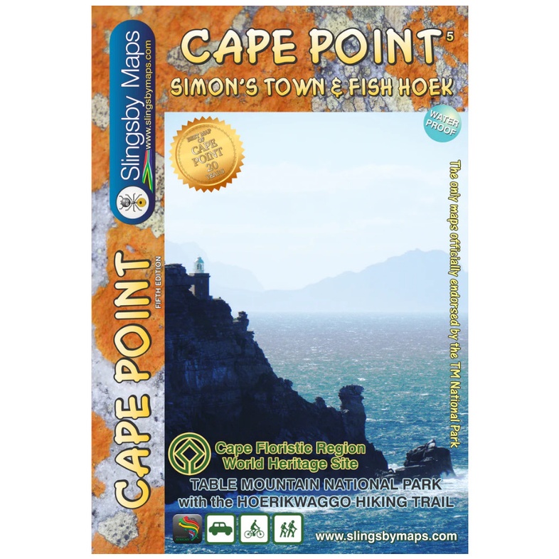
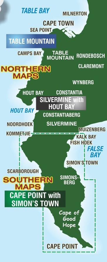
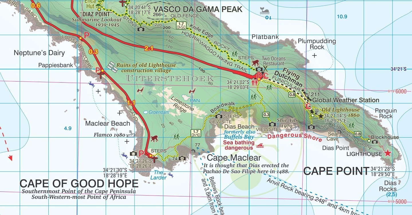
Wandelkaart South Africa: Cape Point and Simon’s Town & Fish Hoek | Slingsby Maps (9781920377427)
- ISBN / CODE: 9781920377427
- Editie: 01-01-2021
- Druk: 5
- Aantal blz.: 1
- Schaal: 1:20000
- Uitgever: Slingsby Maps
- Soort: Wandelkaart
- Taal: Engels
- Hoogte: 22.0 cm
- Breedte: 15.0 cm
- Dikte: 1.5 cm
- Gewicht: 61.0 g
- Uitvoering: Scheur- en watervast
- Bindwijze: -
- Schrijf als eerste een review
-
€ 29,95
Leverbaar in 3 - 5 werkdagen in huis in Nederland Levertijd Belgie
Gratis verzending in Nederland vanaf €35,-
Beschrijving
Reviews
Geen reviews gevonden voor dit product.
Schrijf een review
Graag horen wij wat u van dit artikel vindt. Vindt u het goed, leuk, mooi, slecht, lelijk, onbruikbaar of erg handig: schrijf gerust alles op! Het is niet alleen leuk om te doen maar u informeert andere klanten er ook nog mee!
Ook interessant voor afrika/zuid-afrika
-

Reisgids Insight Guide Zuid Afrika |
€ 27,95Reisgidsen Zuid-Afrika -

Natuurgids Kruger Wildlife | HPH Pub
€ 18,50Natuurgidsen Krugerpark -

Stadsplattegrond Cape Town - Kaapsta
€ 10,25Stadsplattegronden Kaapstad -

Wegenkaart - landkaart 748 Zuid-Afri
€ 12,95Wegenkaarten Zuid-Afrika -

Reisverhaal Somewhere Over the Rainb
€ 15,50Reisverhalen Zuid-Afrika